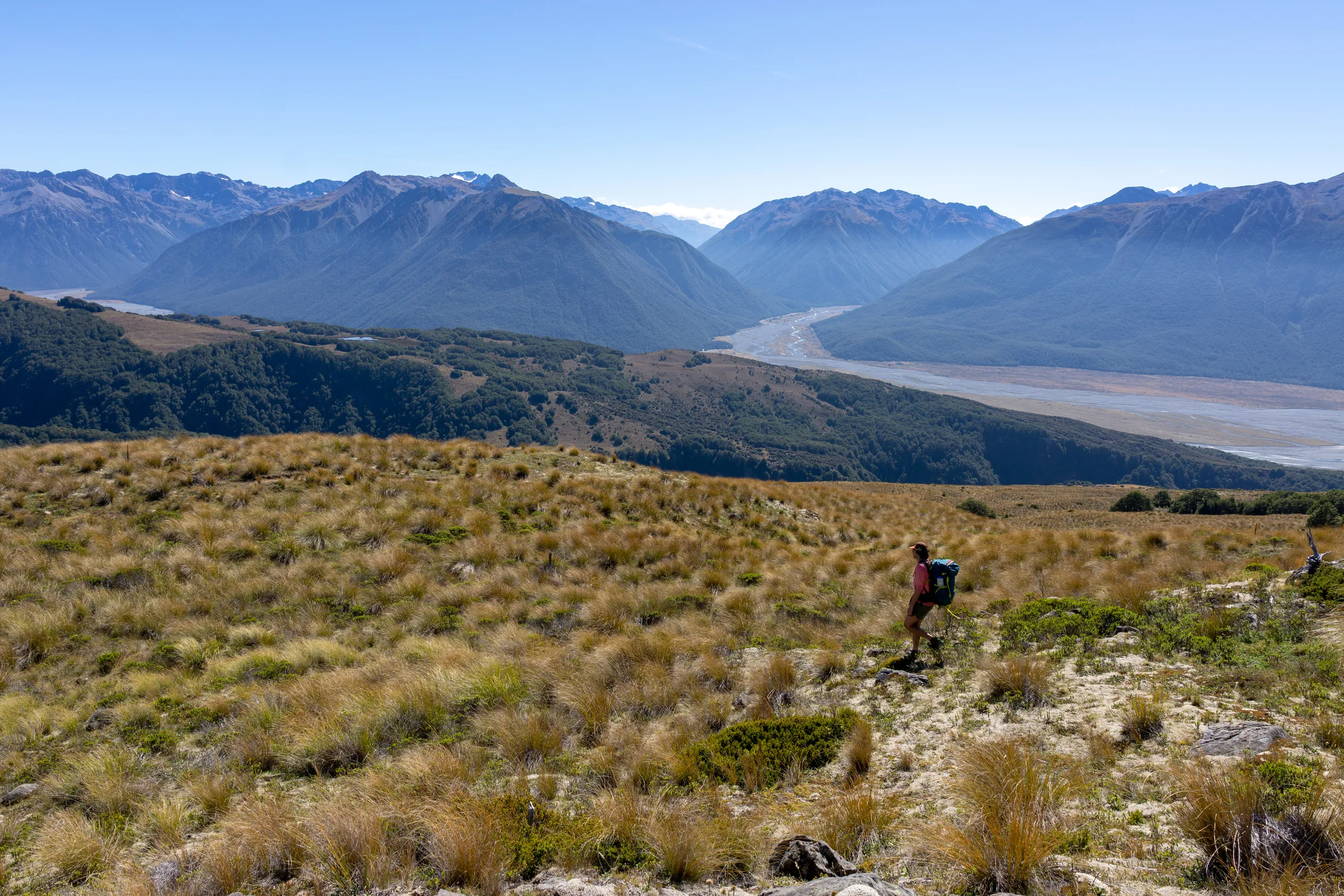
Cass-Lagoon Saddle Track
- Distance
- 35.0 km
- Vertical gain
- 1,701m
- Duration
- 1d4h29m
We dropped a car at the western carpark then drove to the eastern one, tackling the walk clockwise. With the popularity of State Highway 73, hitchhiking is a real alternative here to get between carparks. A couple of other Cass-Lagooners happened to arrive at the western carpark at the same time as us. They were intending to walk to the road to hitchhike but were able to get a ride with us.
If running the track, the counterclockwise direction would probably make more sense. This way the steepest ascent is done early and gradual downhill is maximised.
Day 1
Most of the day is a gradual climb up Cass River. The scenery gets dramatic at Cass Saddle.
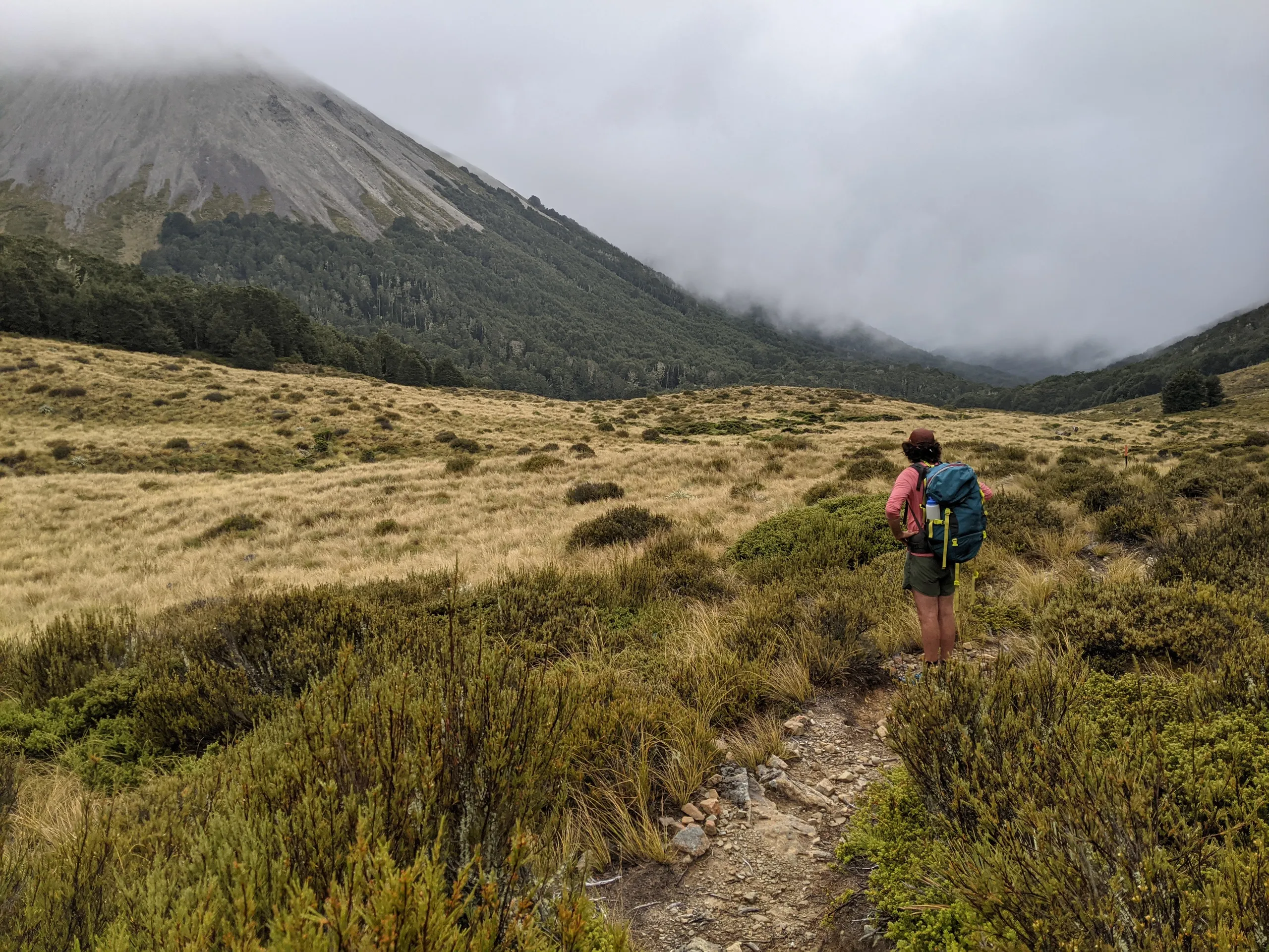
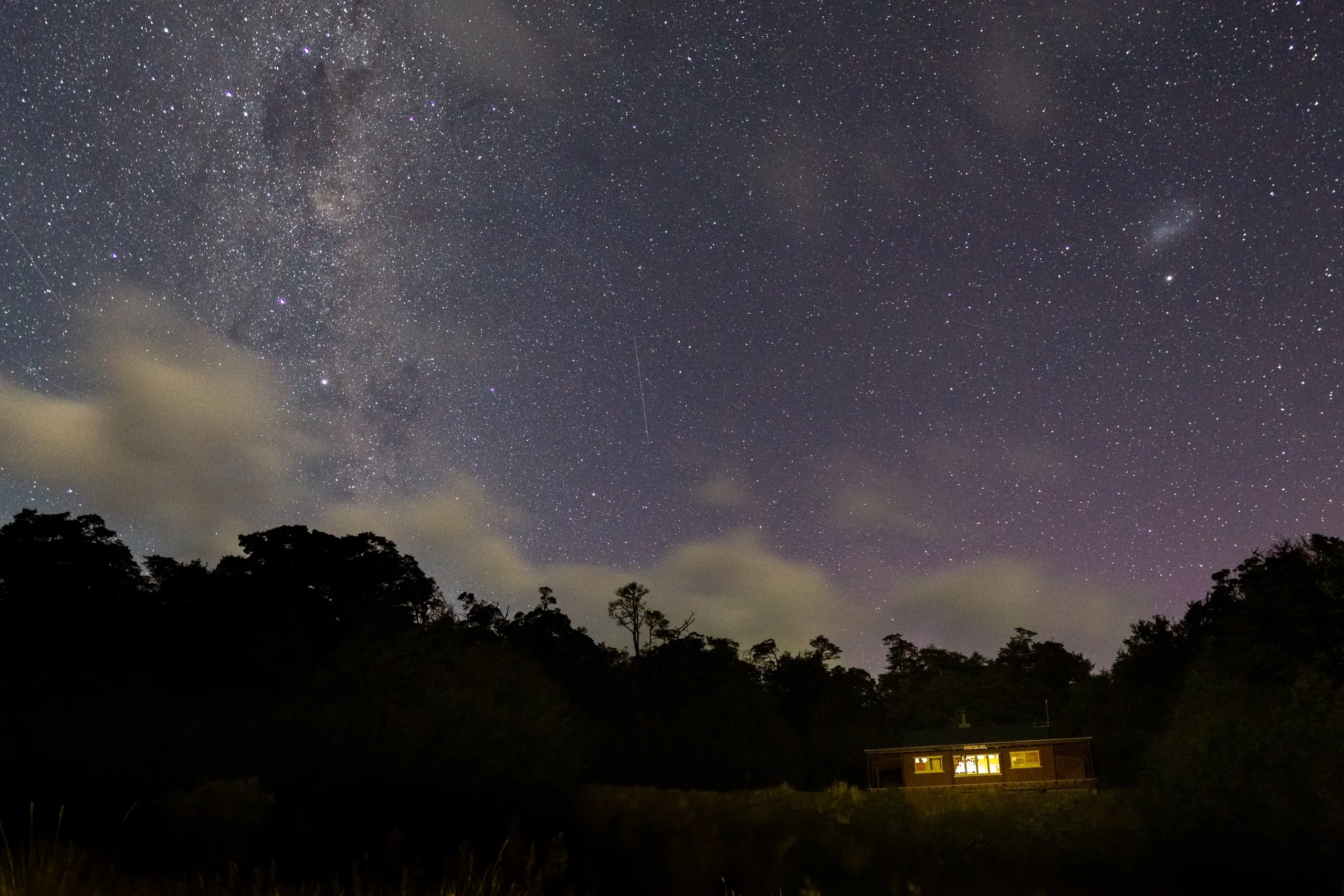
Hamilton Hut is halfway along the track. It’s nicely located on a bank set back from Hamilton Creek. We were the first group at the hut, arriving around 3pm. This way we were able to make the most of the sunshine hours and great weather by reading in the sun and throwing a frisbee around.
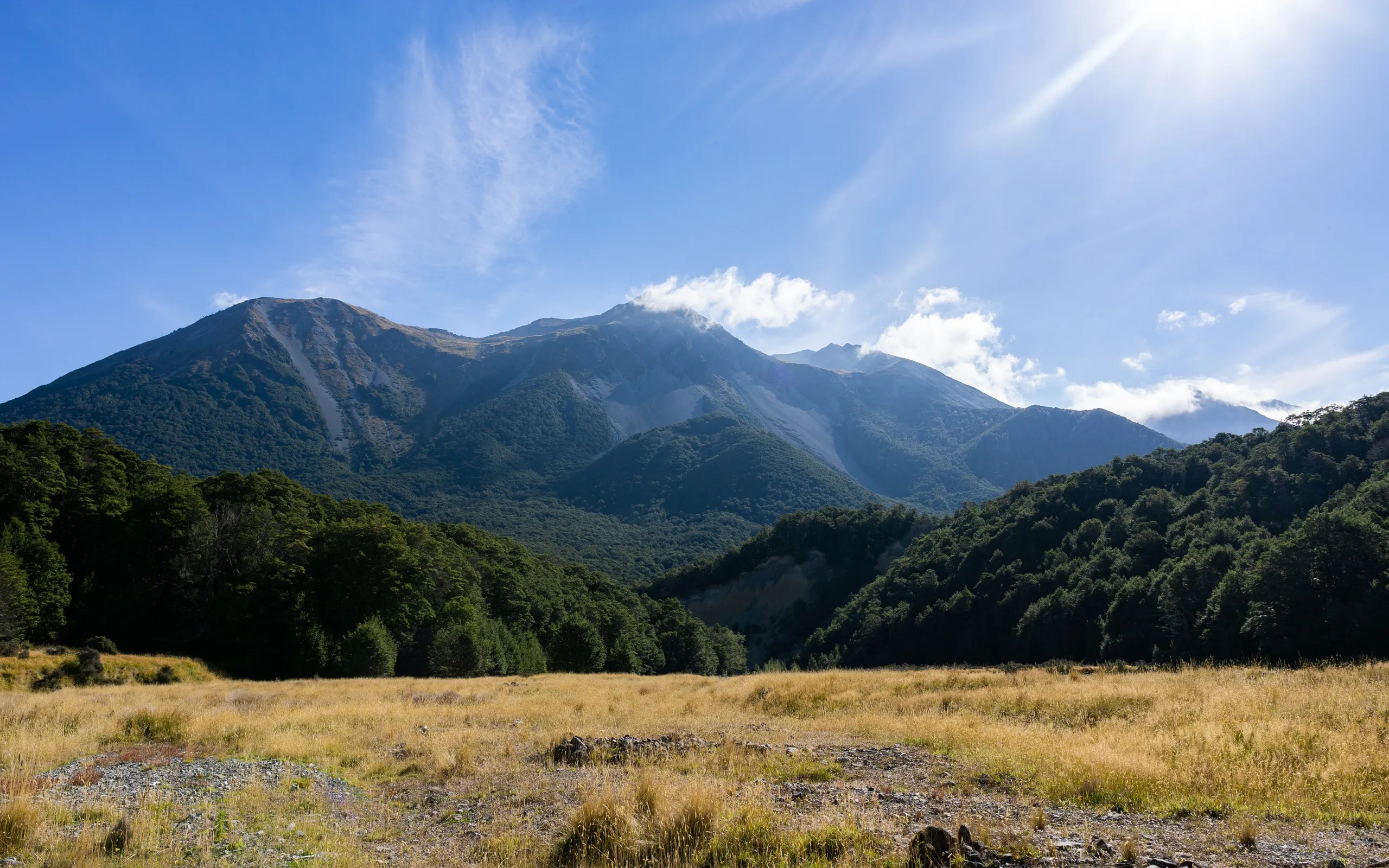
Day 2
We set off up Harper River as the sun rose above the hills.
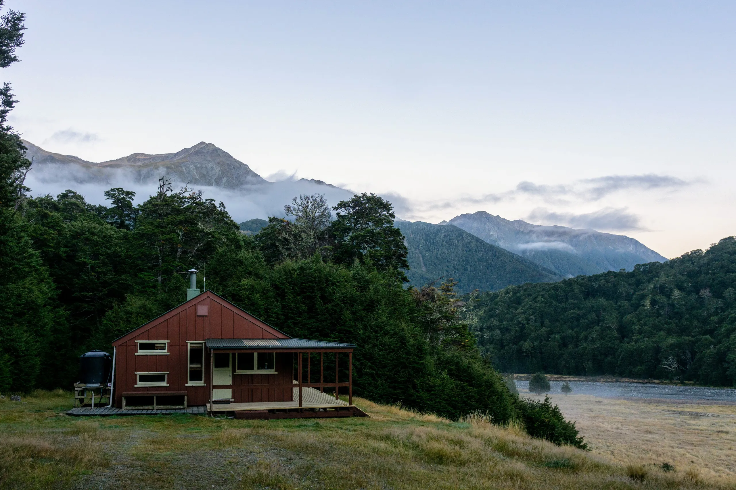
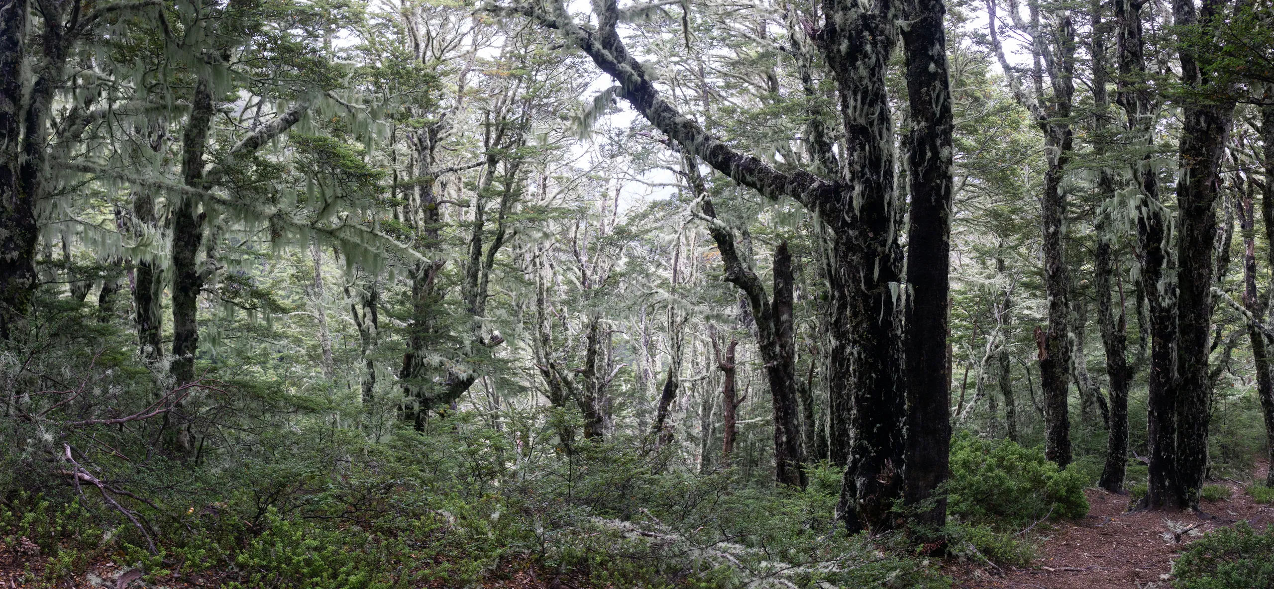
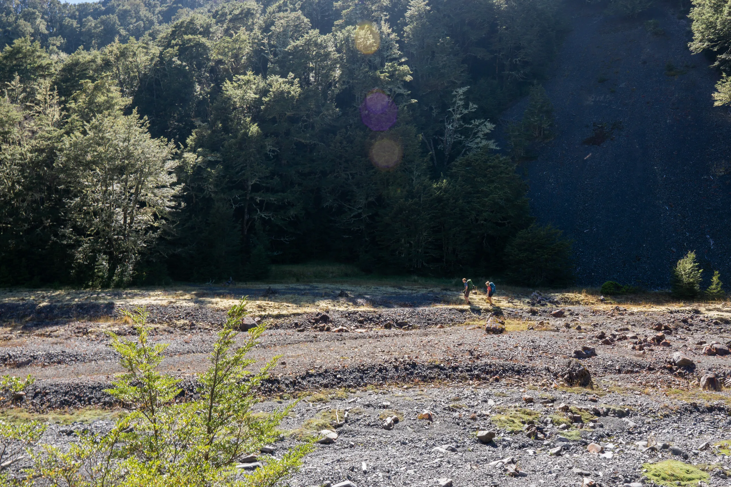
The second day was a bit harder than the first and more interesting too. We made our way up the river sections with help from cairns. It’s lovely scenery, with dense beech forest and river junctions all over the place.
Beyond A-Frame Hut, the vegetation falls away to reveal what must be some of the best views in the area.
