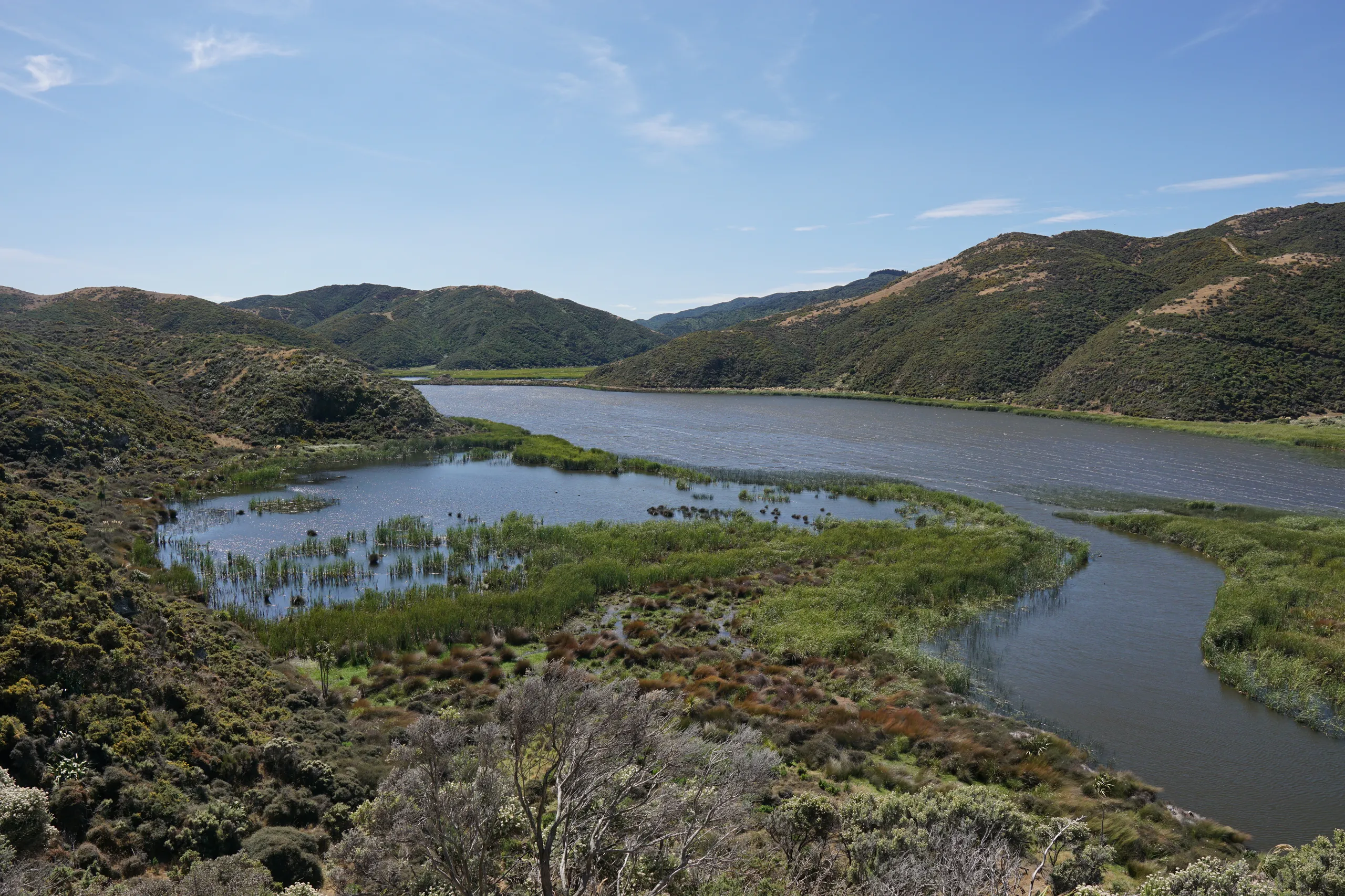
Lakes Kohangapiripiri and Kohangatera
- Distance
- 15.7 km
- Vertical gain
- 261.5m
- Duration
- 0d4h11m
Map is loading
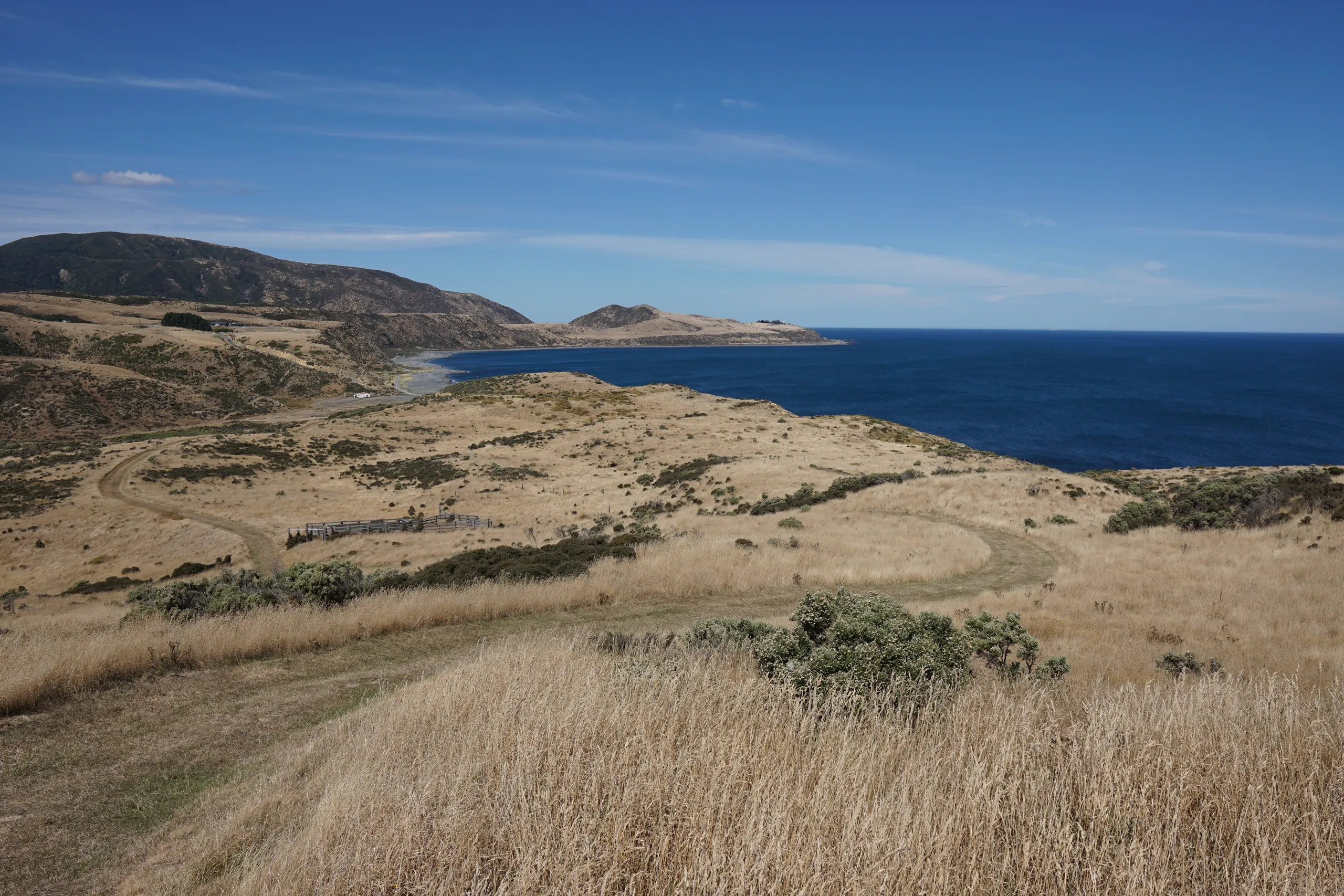
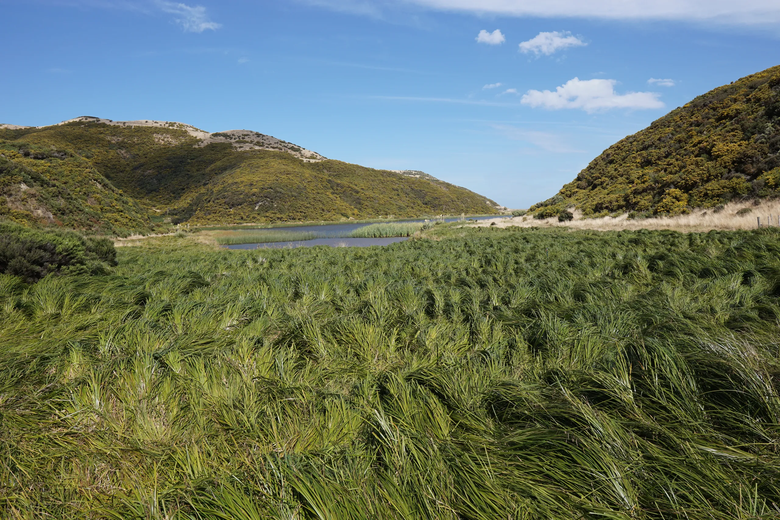
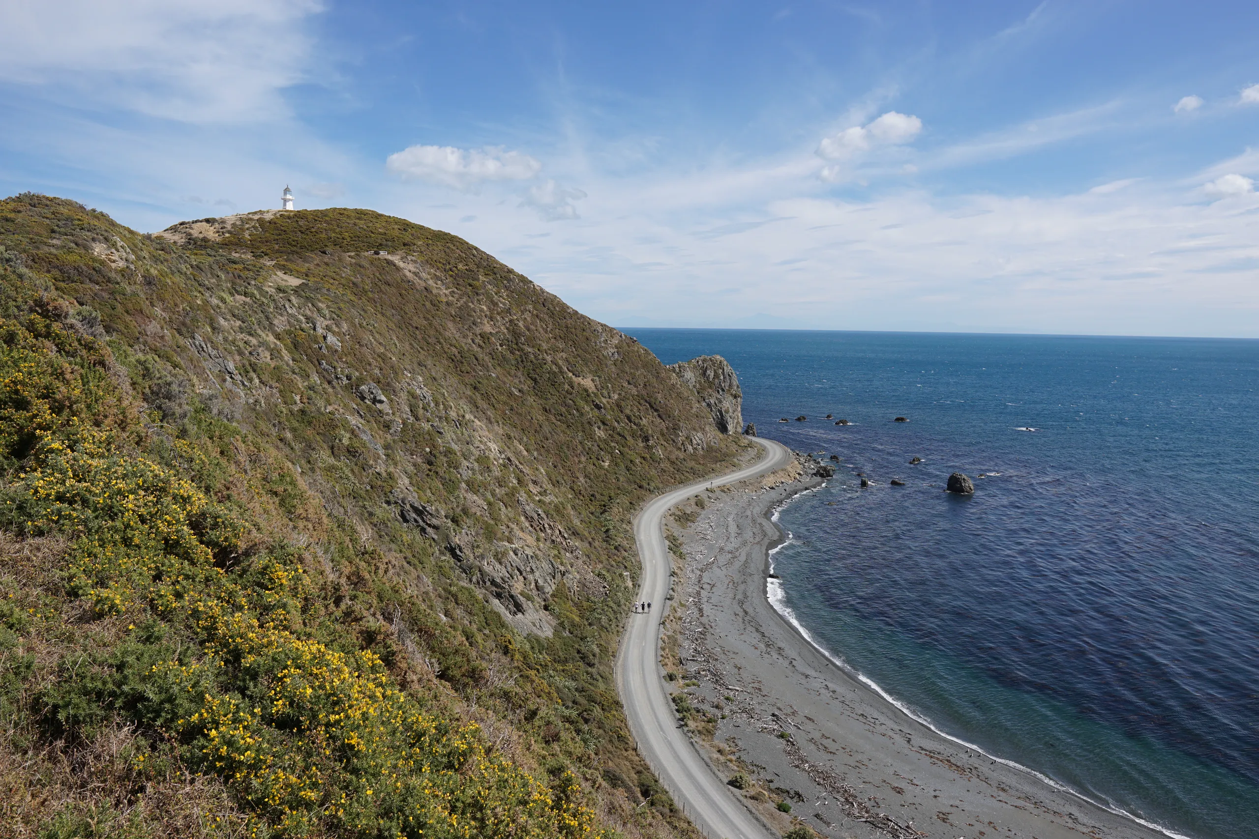
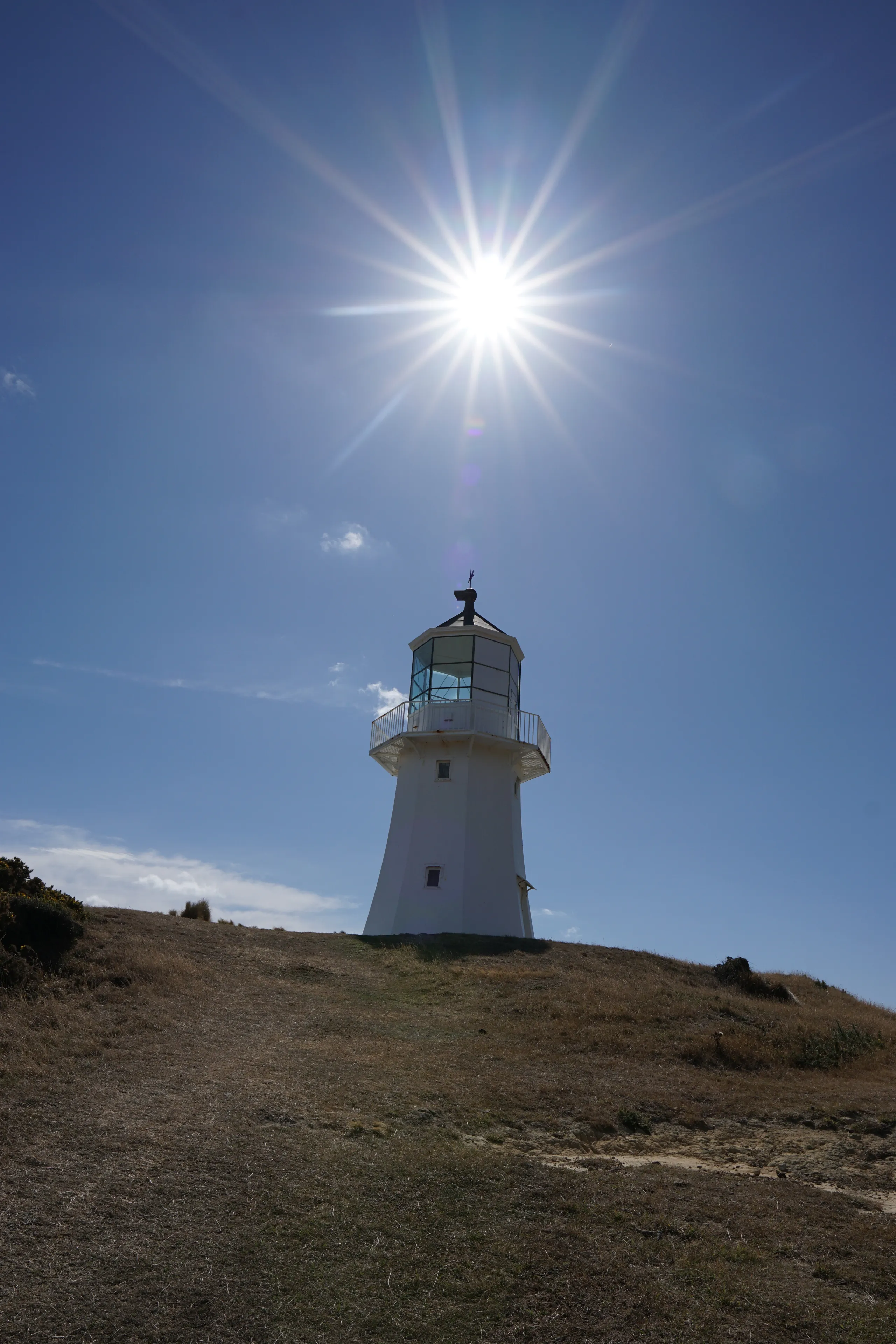
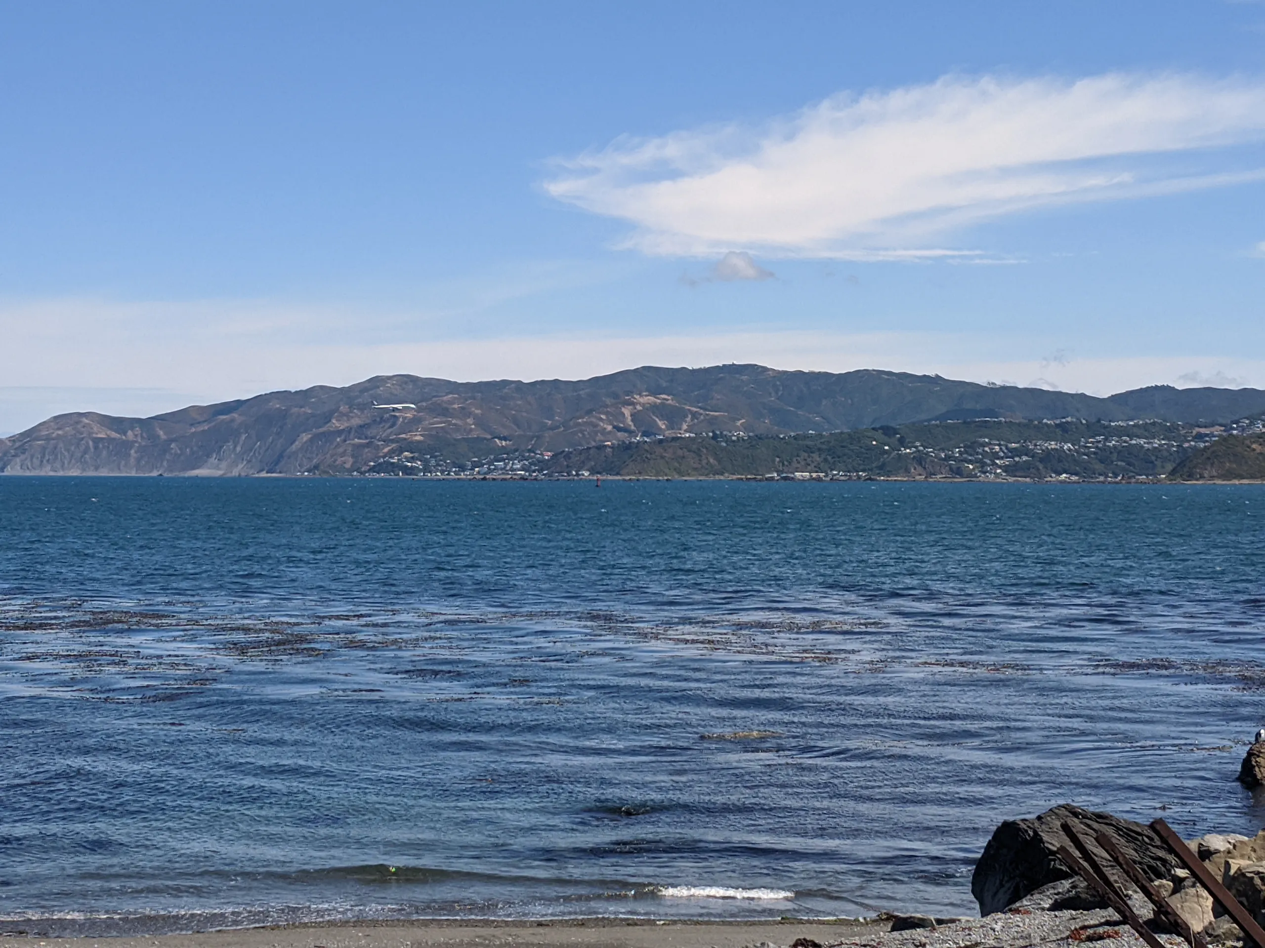
Mention the Pencarrow lakes to most Wellingtonians and they’ll have no idea what you’re talking about—just like so many of the coolest outdoors attractions in the region. Beyond the well-known Pencarrow Head, there are tracks all around these coastal lakes. With so many cool picnic and sightseeing spots, allow more time than I did and make a day of it. If it’s sunny, bring plenty of sunscreen also.
The boardwalk/bridge across upper Lake Kohangapiripiri closed for maintenance shortly after I did this walk. Please double check that it has reopened before attempting.