Pfeifer Biv and Otehake Hot Pools
- Distance
- 34.6 km
- Vertical gain
- 1,885m
- Duration
- 2d4h21m
Easter weekend of 2022 presented a great opportunity to head into the hills near Christchurch. A traverse of Arthur’s Pass, from Aickens to Hawdon Valley via Otehake Valley, was lined up. Before we knew it, the holiday was upon us and it was time to hike! A last-minute route change had us detouring to the dramatically-located Pfeifer Biv on the first day.
Access to the Mt Pfeifer tops is via a stream up to Waharoa Saddle. If you’re going up there, make sure to stick to the left branch and you should have no trouble reaching the saddle.
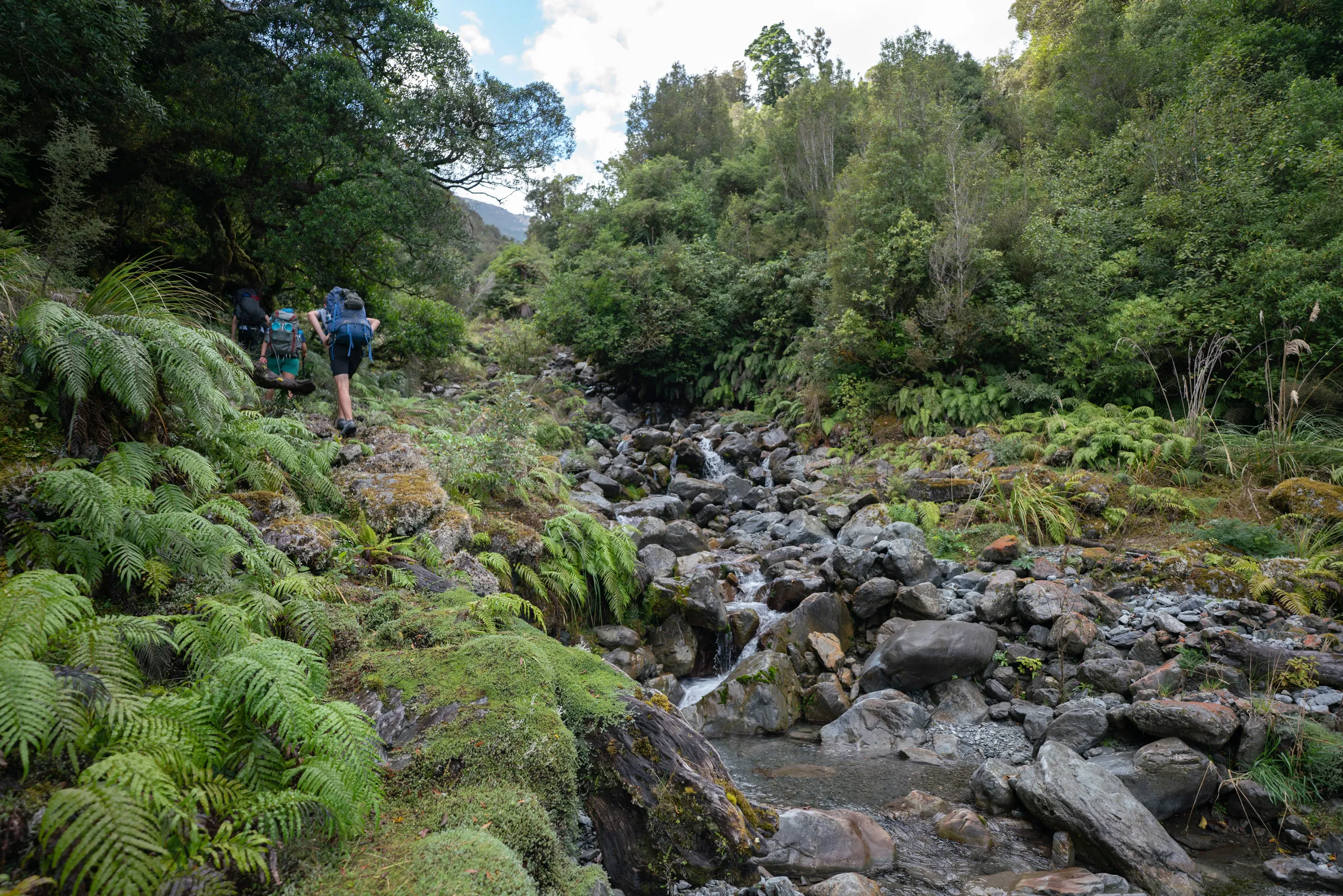
The saddle was rewarding with views of the Pfeifer tops and provided a great place to top up on snacks before the steepest part of the climb.
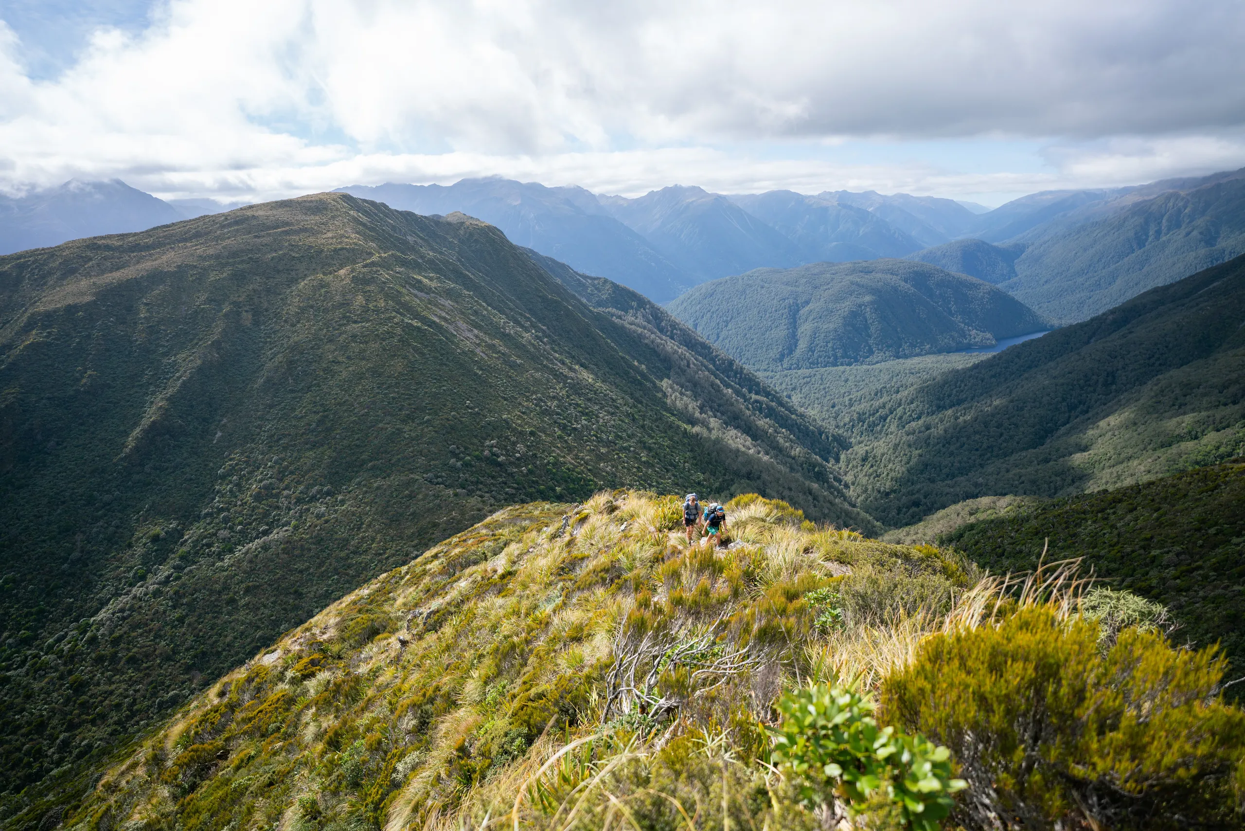
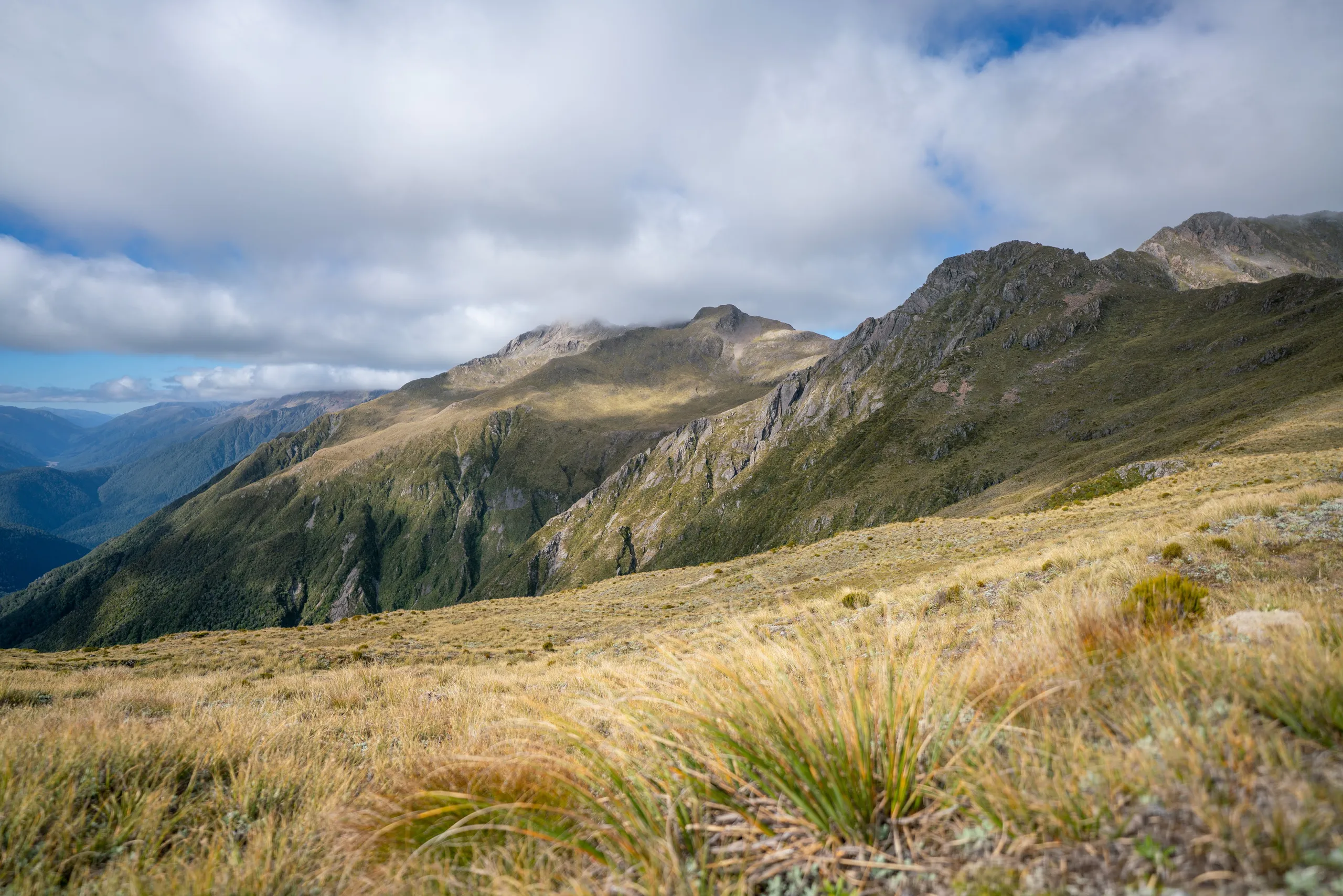
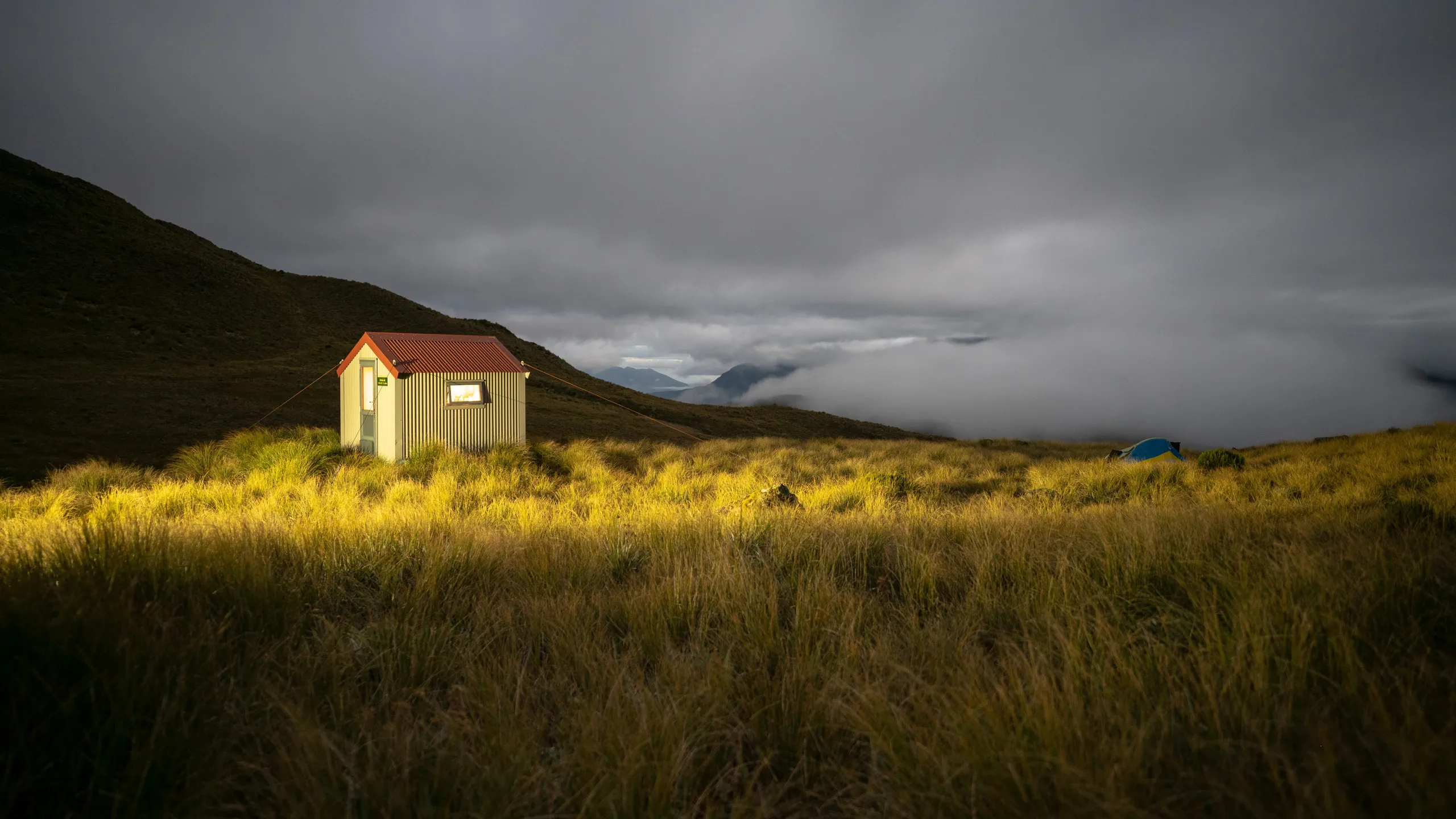
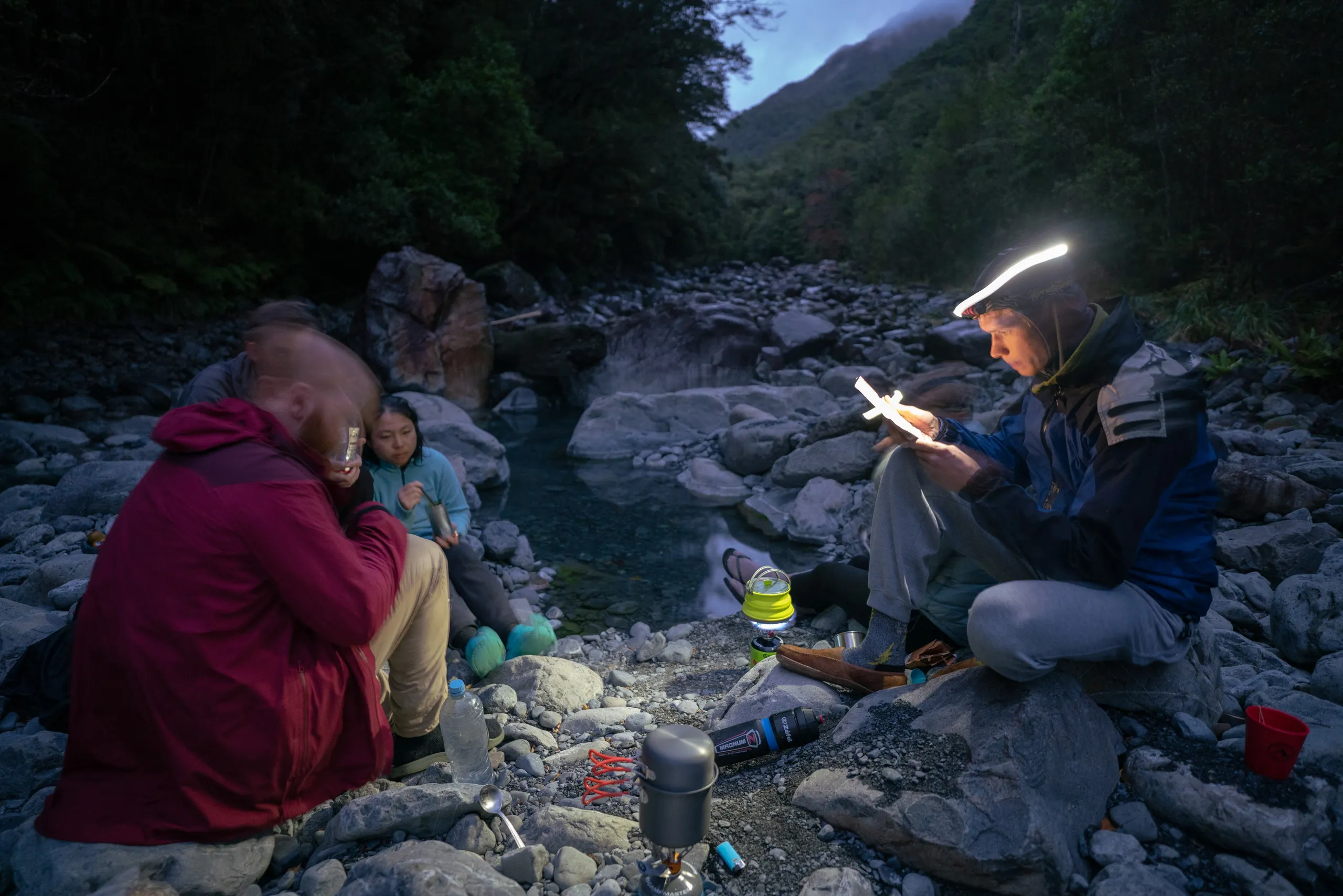
Beyond the bushline, the track fades. There are a couple of large basins to cross before reaching the small hut that is Pfeifer Biv. We had originally intended to proceed beyond the biv but quickly realised we were (a) running out of daylight hours, and (b) quite looking forward to a rest after walking up a mountain. This cosy biv sleeps two but was perfect for all six of us to sit in to cook up some dinner before dispersing to tents. Thankfully, water from the nearby tarns didn’t seem to be particularly poisonous.
A cool, rainy morning broke and saw us heading down the mountain towards Lake Kaurapataka. Will expertly navigated us to our exit route: a scree chute marked as a stream on Topo250, a few hundred metres northeast of the biv beginning around the 1120m contour. This descent provided me with my first experiences in both bush-bashing and scree-skiing as we lost over 500m of altitude in a kilometre.
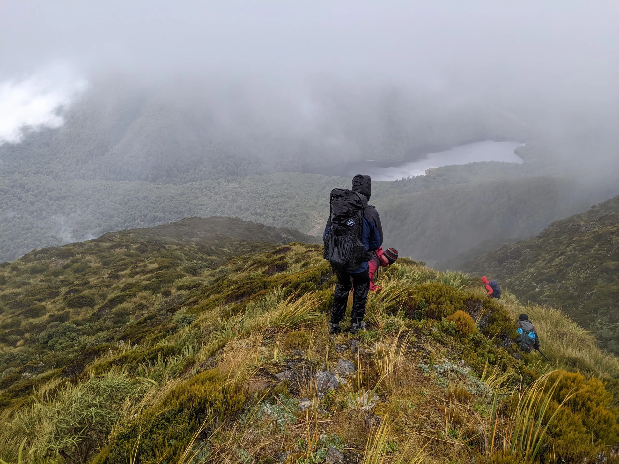
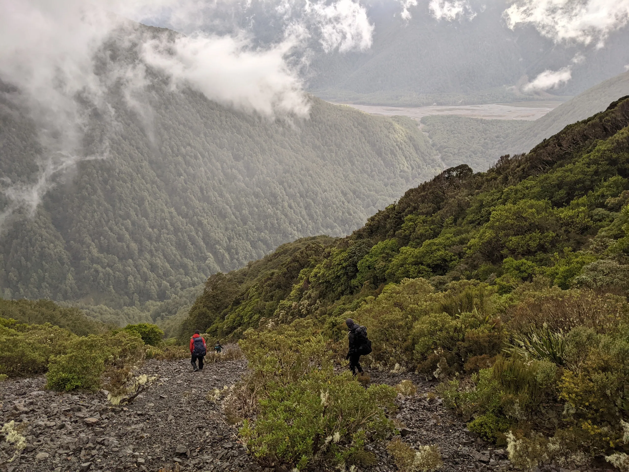
After reaching the bottom of the not-stream, we followed Pfeifer creek out to Lake Kaurapataka track. This track is very fast travel until near the end of the lake when it becomes surprisingly undulating, a situation which worsens until the track eventually joins the Otehake River further south. The distance and elevation changes are definitely concealed by the contours on the map.
Eventually, though, we were out of the forest and walking along the river to the hot pools. These are situated on a riverbed between two campsites. There are some excellent swimming holes nearby, too.
The hot pools are delightful and most of us agreed these were the best natural pools we had experienced. All six of us could fit in them; I even found a spot sheltered from the rain by a protruding log. With a perfect temperature, neck-high water, and few hotspots, I can certainly recommend these pools to anybody willing to walk the 5-6 hours to get there from the road.
With the delayed itinerary, we decided to split the party: Will and Hayley would speed onwards to complete the traverse, while the four others would head back to Morrisons Footbridge (the easy way—that is, not going over a sizeable mountain). While it was a shame to miss the views of Tarn Col in brilliant weather, I was happy to return home before nightfall and in one piece, with plenty of Arthur’s Pass secrets remaining for me to explore another day.