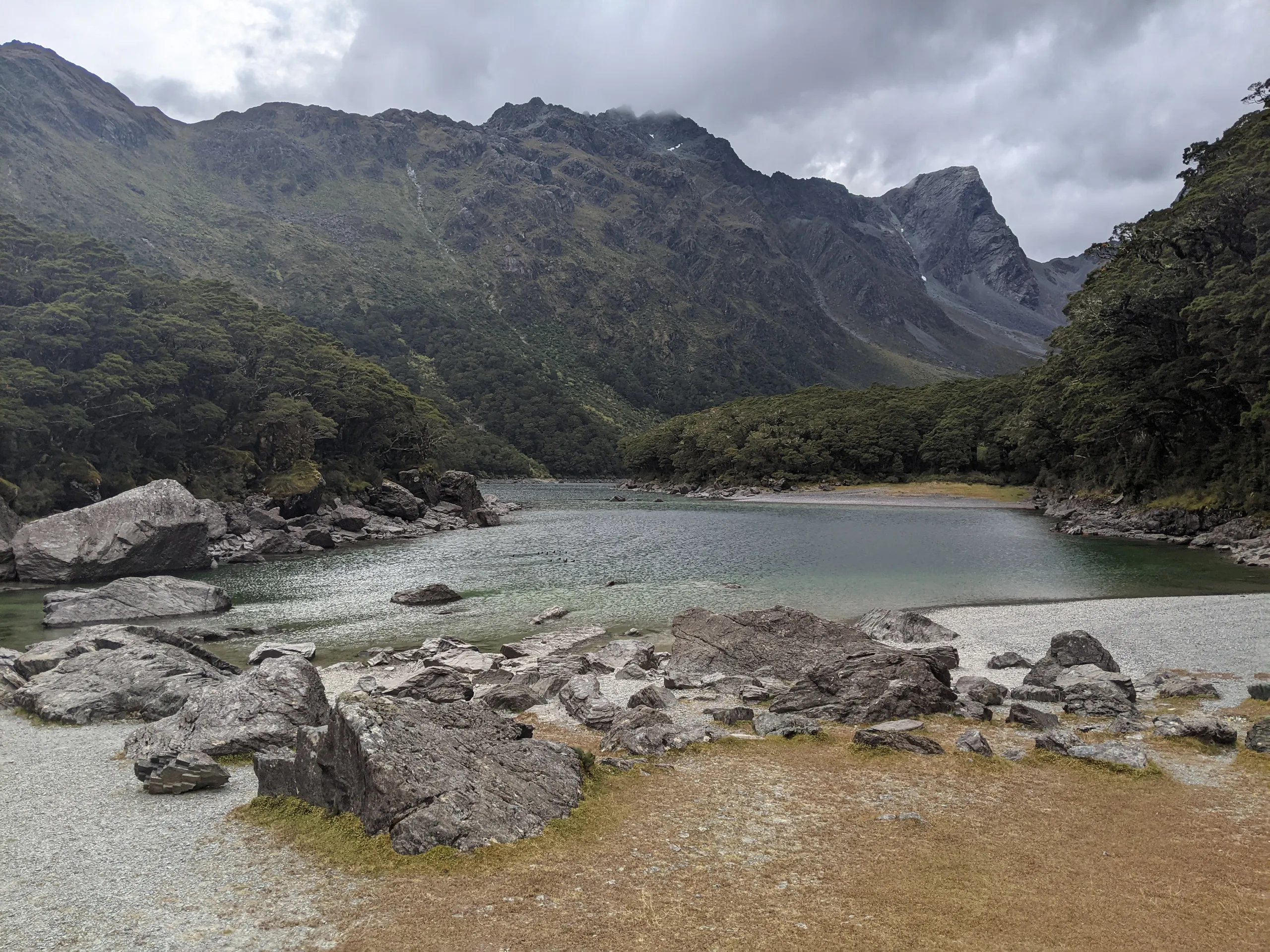
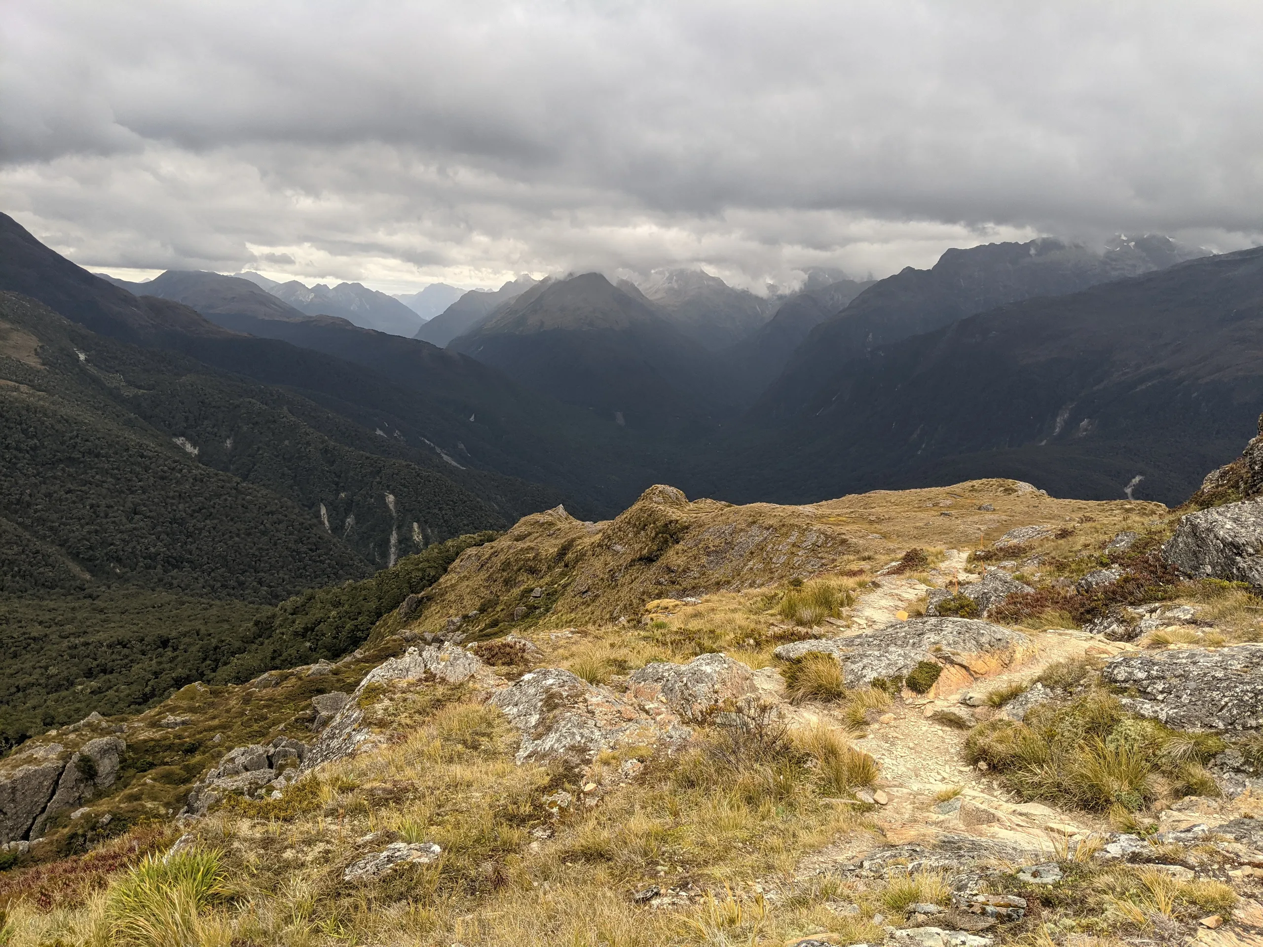
Running the Routeburn Track
- Distance
- 32.6 km
- Vertical gain
- 1,362m
- Duration
- 0d5h11m
Map is loading
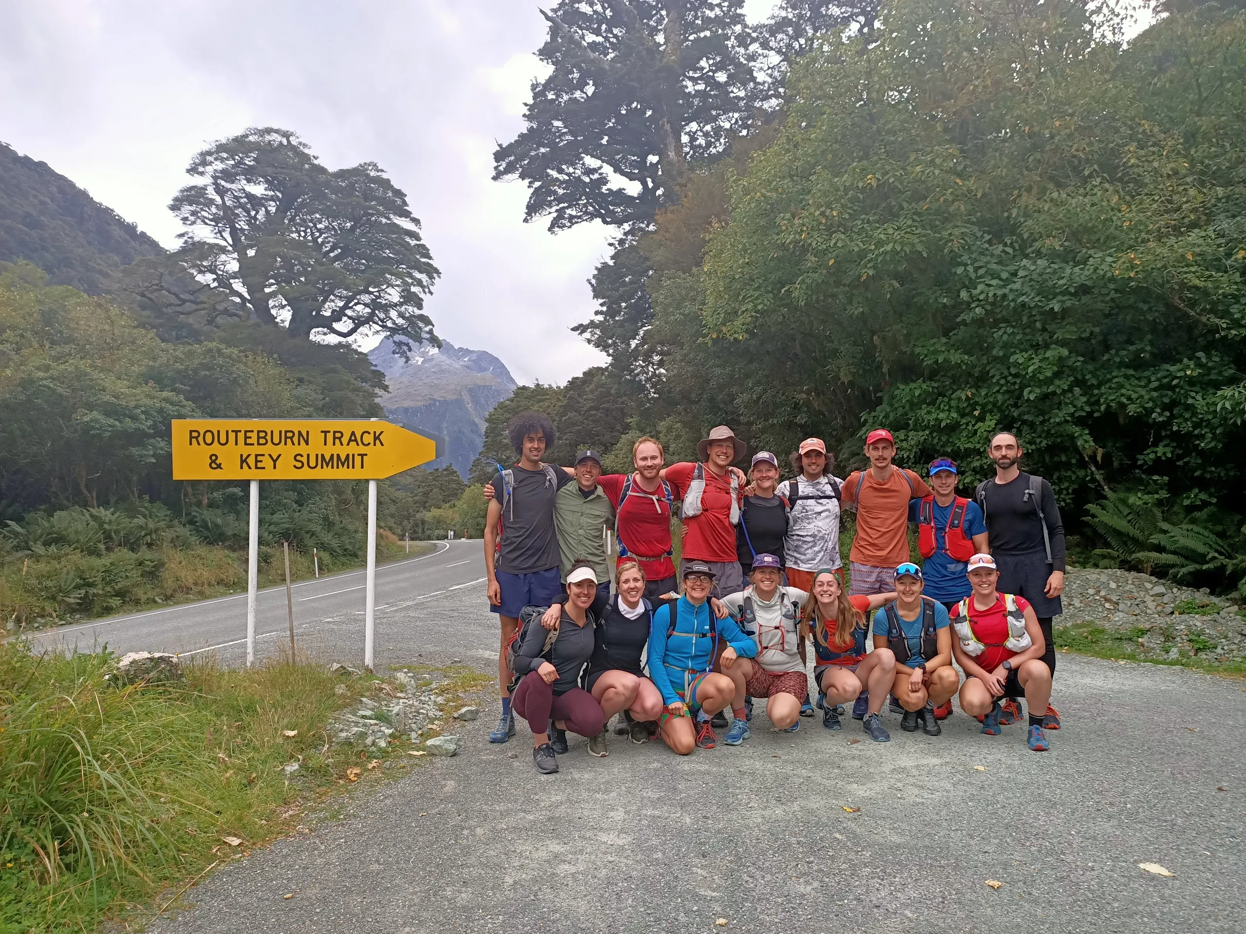
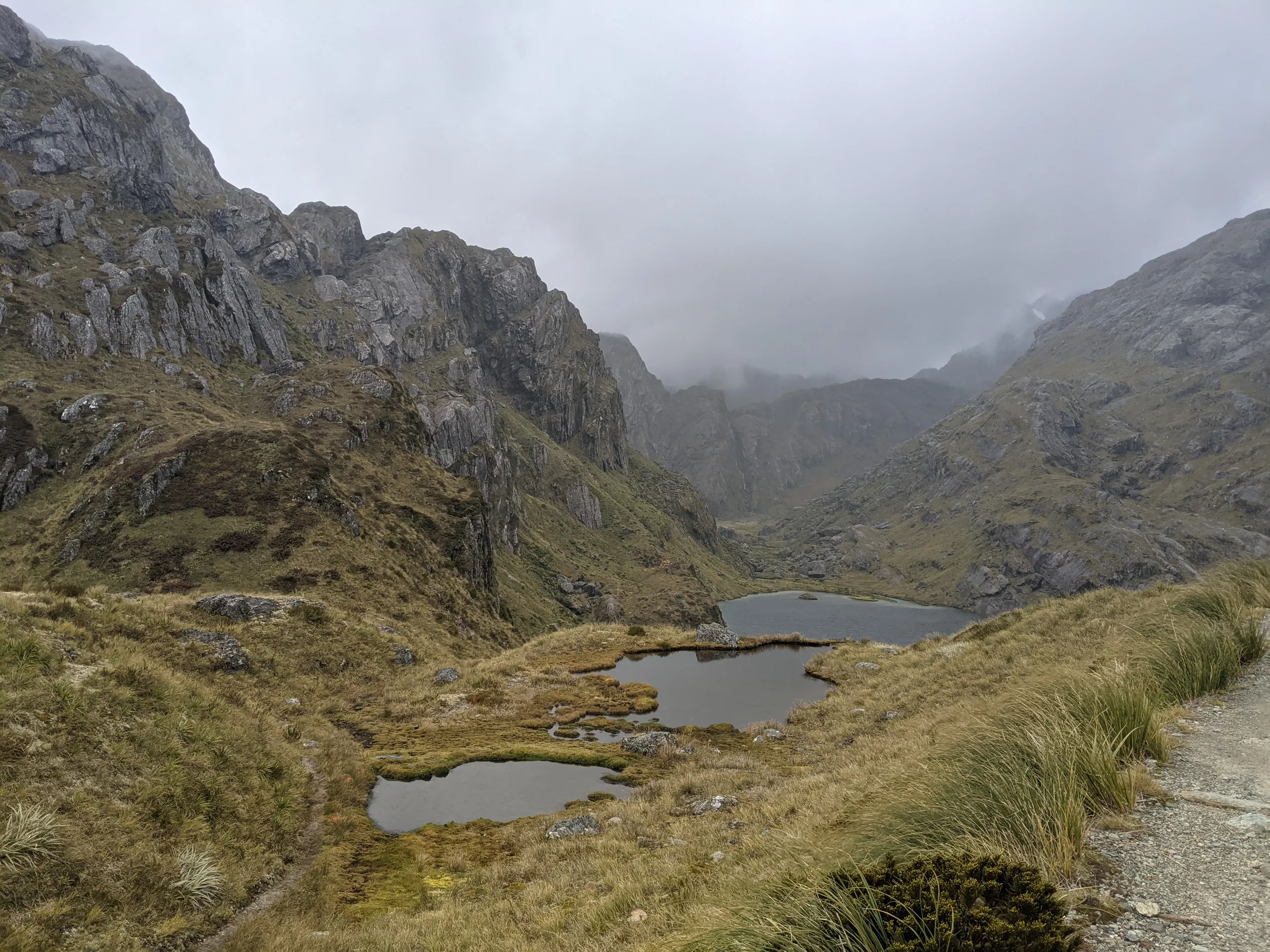
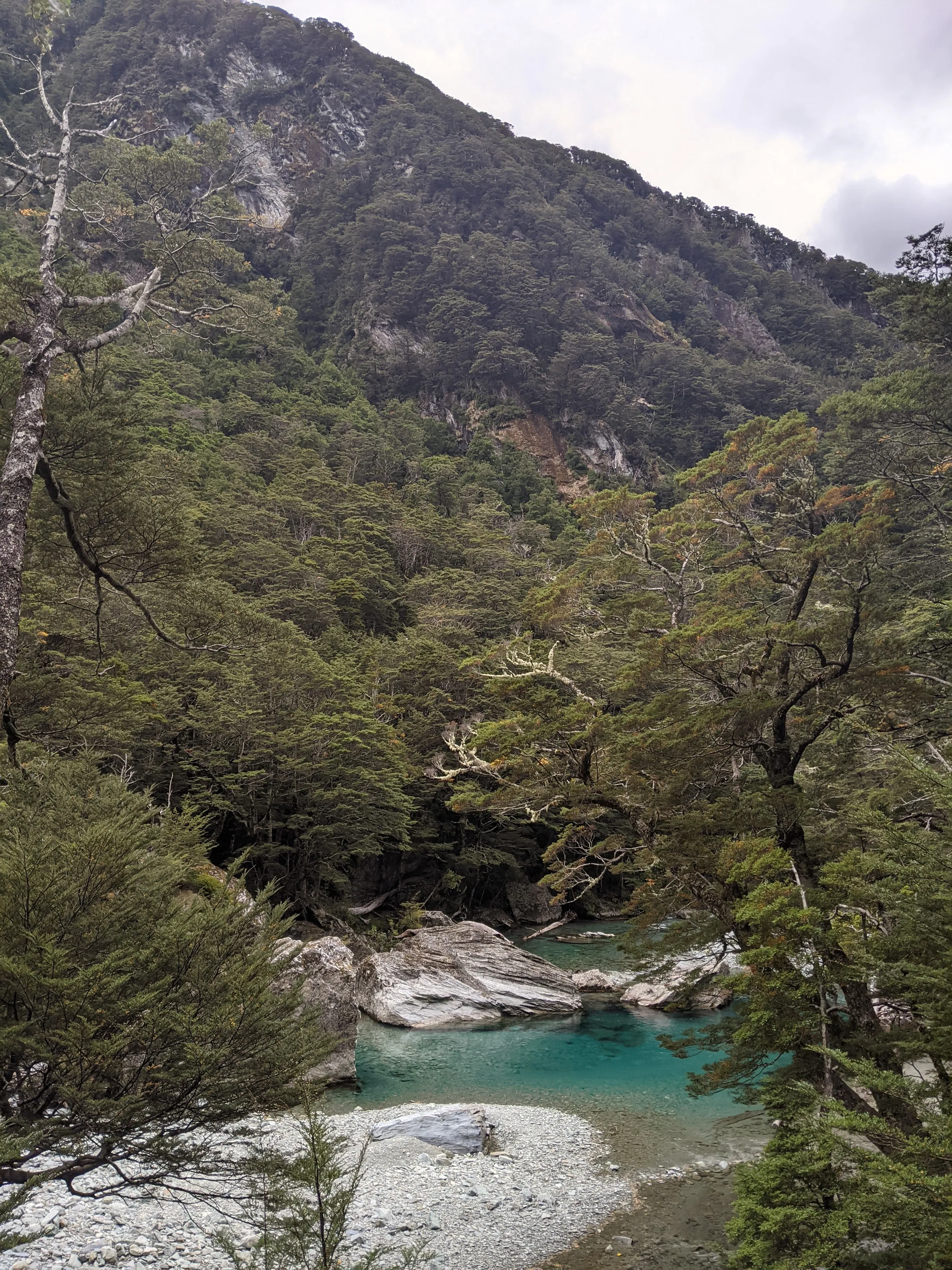
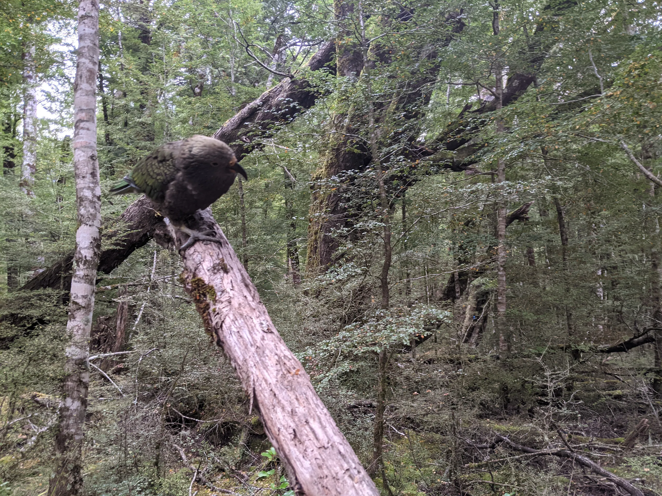
To celebrate Chris’ birthday a group of 17 took on Routeburn. The 32km trail is the shortest of New Zealand’s Great Walks and one of the best-known. A large group makes logistics easier: we booked a shuttle to take us from Queenstown to The Divide and had some non-runners willing to meet us at the other end.