Taipo Track to Julia Hut and hot pools
- Distance
- 48.0 km
- Vertical gain
- 1,414m
- Duration
- 1d21h56m
Julia Hut is a 25-kilometre walk up the Taipo Valley, to the West of Arthur’s Pass.
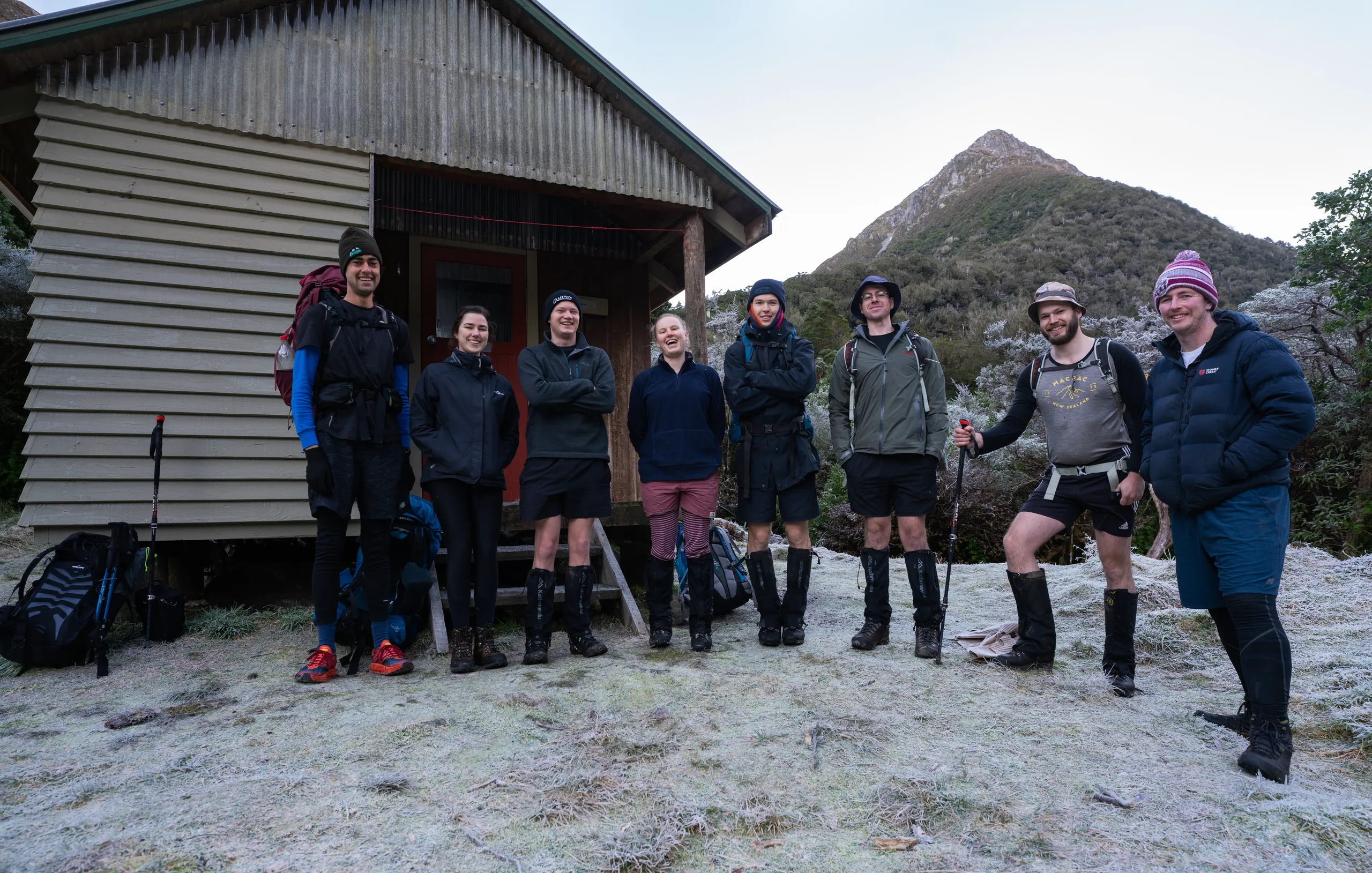
Day 1
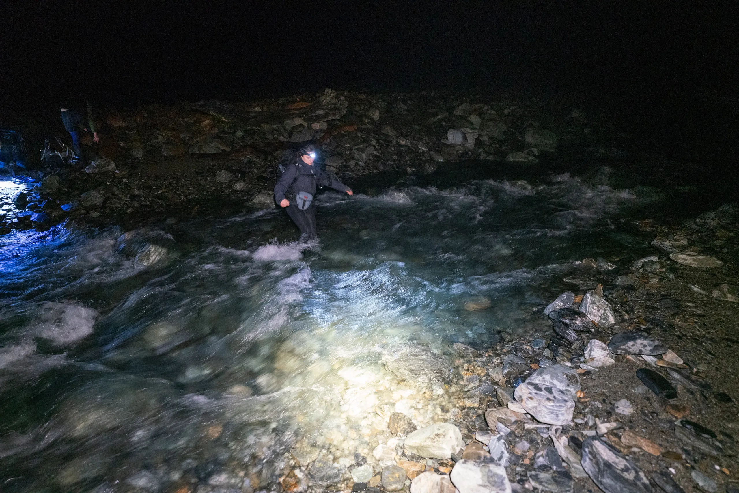
To maximise our hot pool time on day 2, we arrived late on Friday and walked to Dillons Hut in the dark. The first 2.5km is 4WD track which we tackled without too much difficulty in a Prado. We got out and started walking when it got too muddy to proceed in the vehicle, arriving at the hut around 9:30pm.
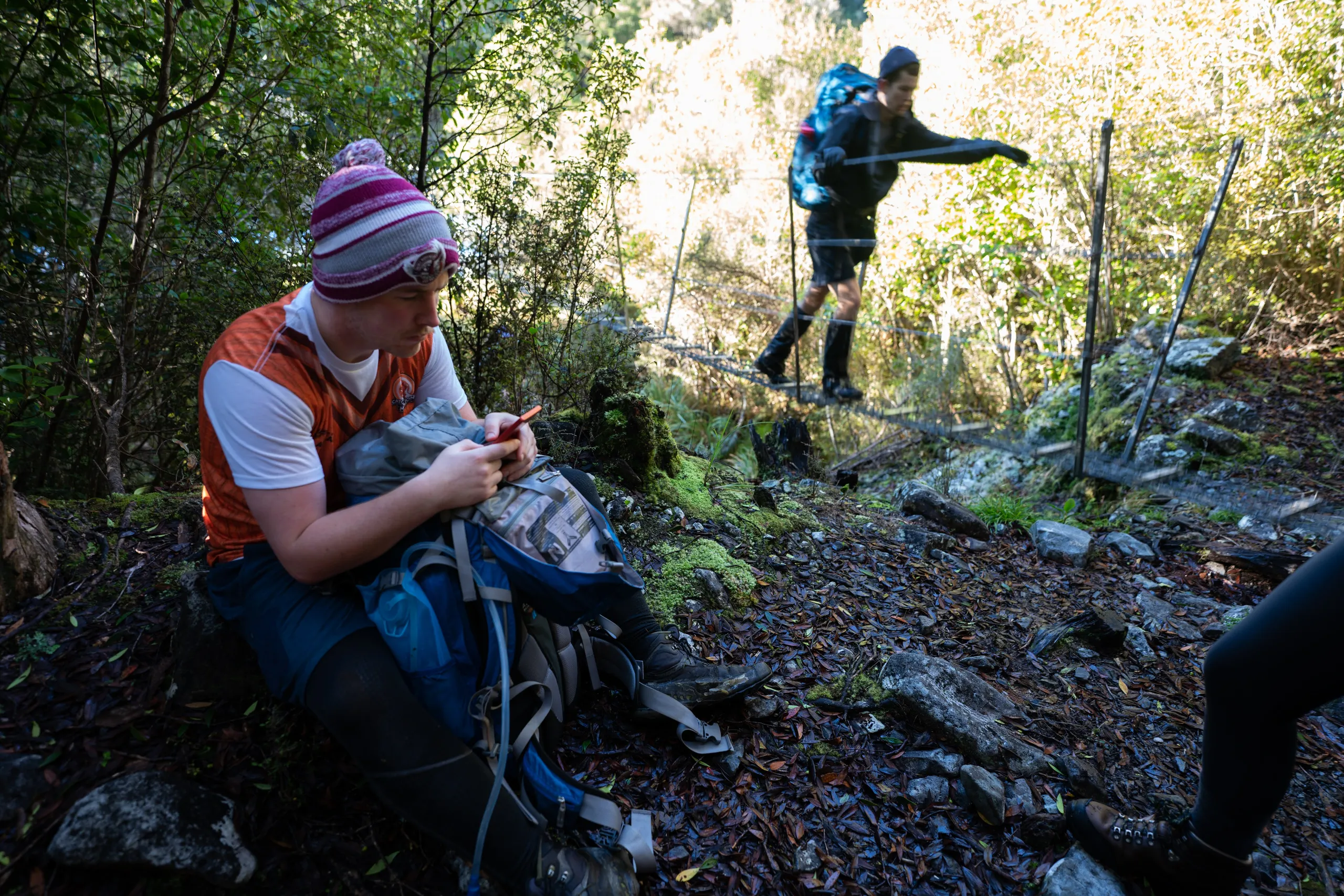
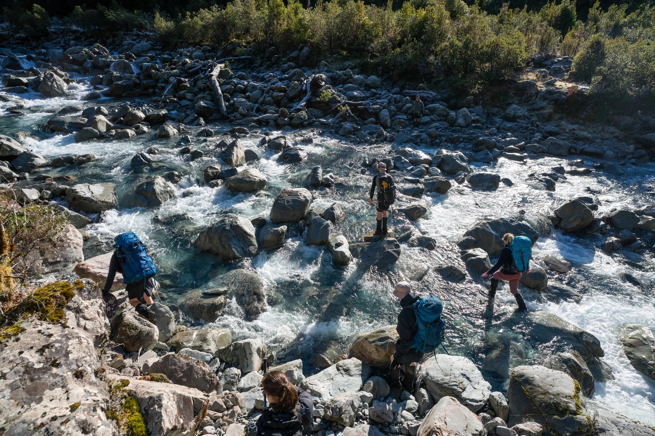
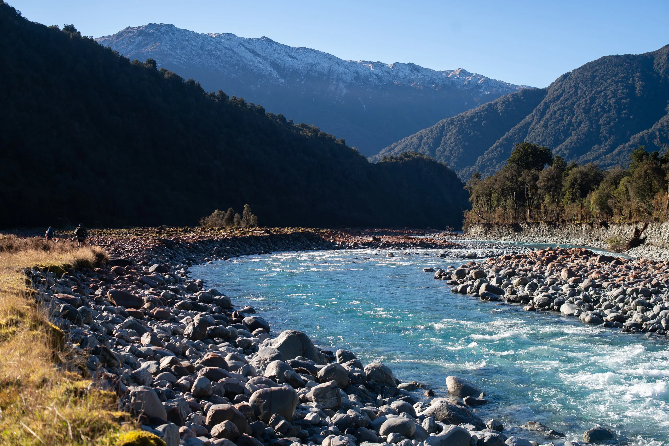
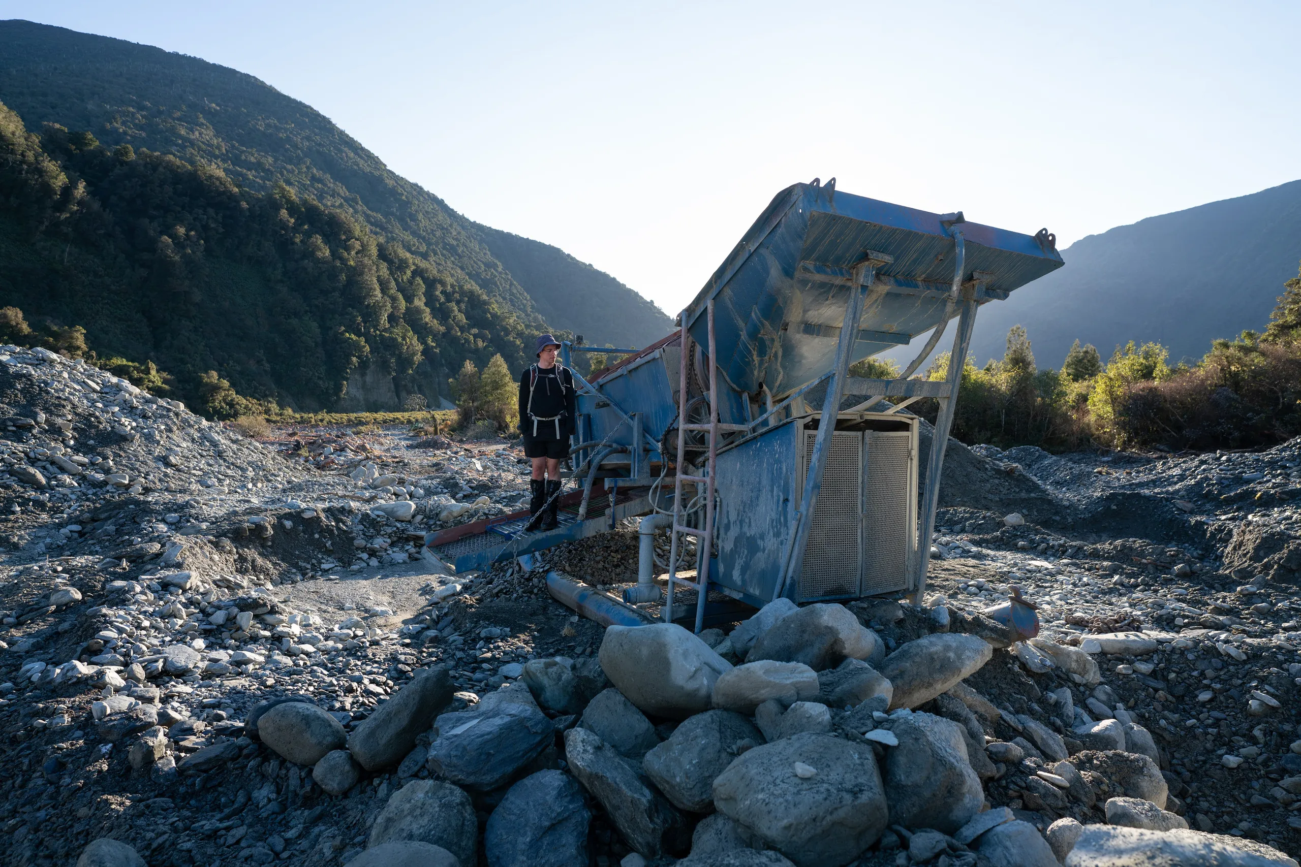
Day 2
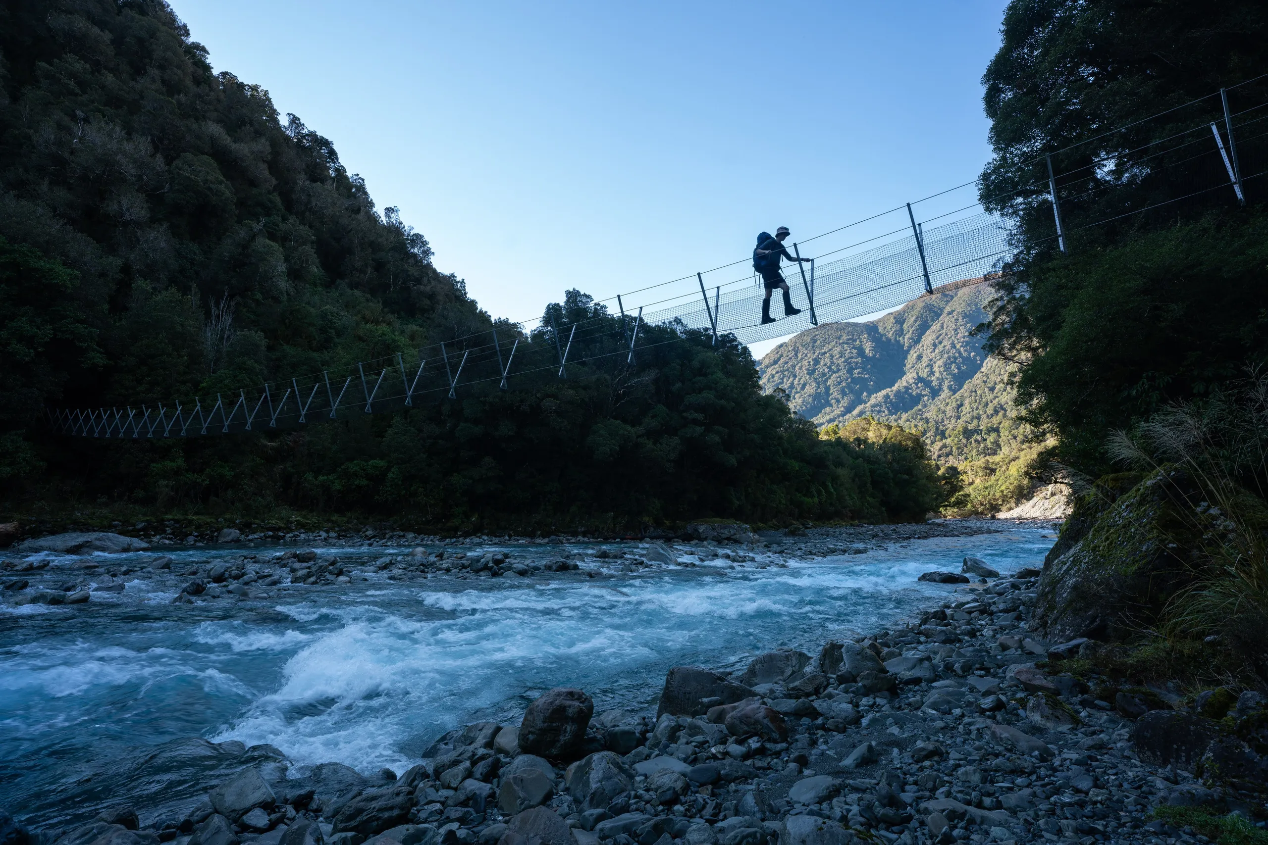
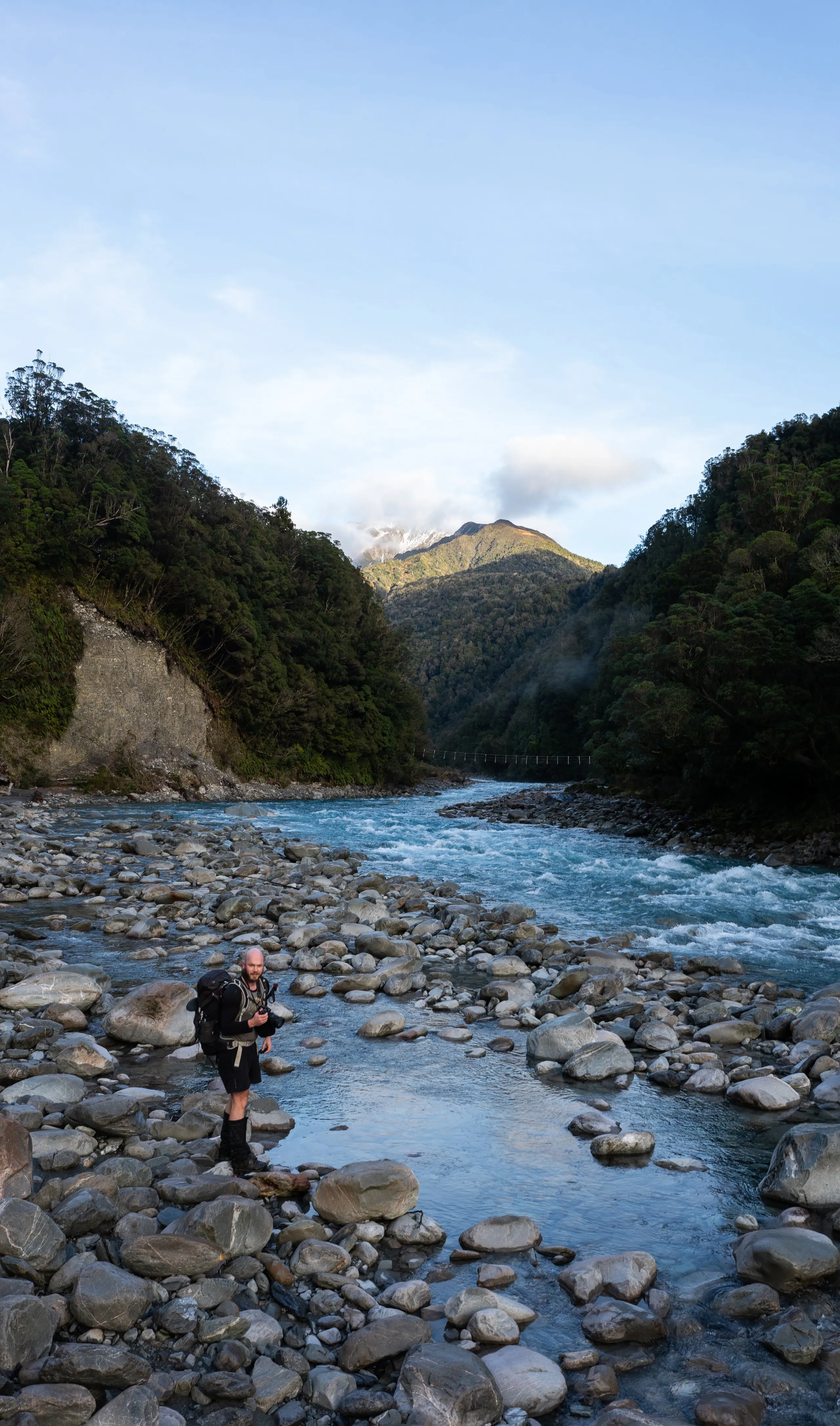
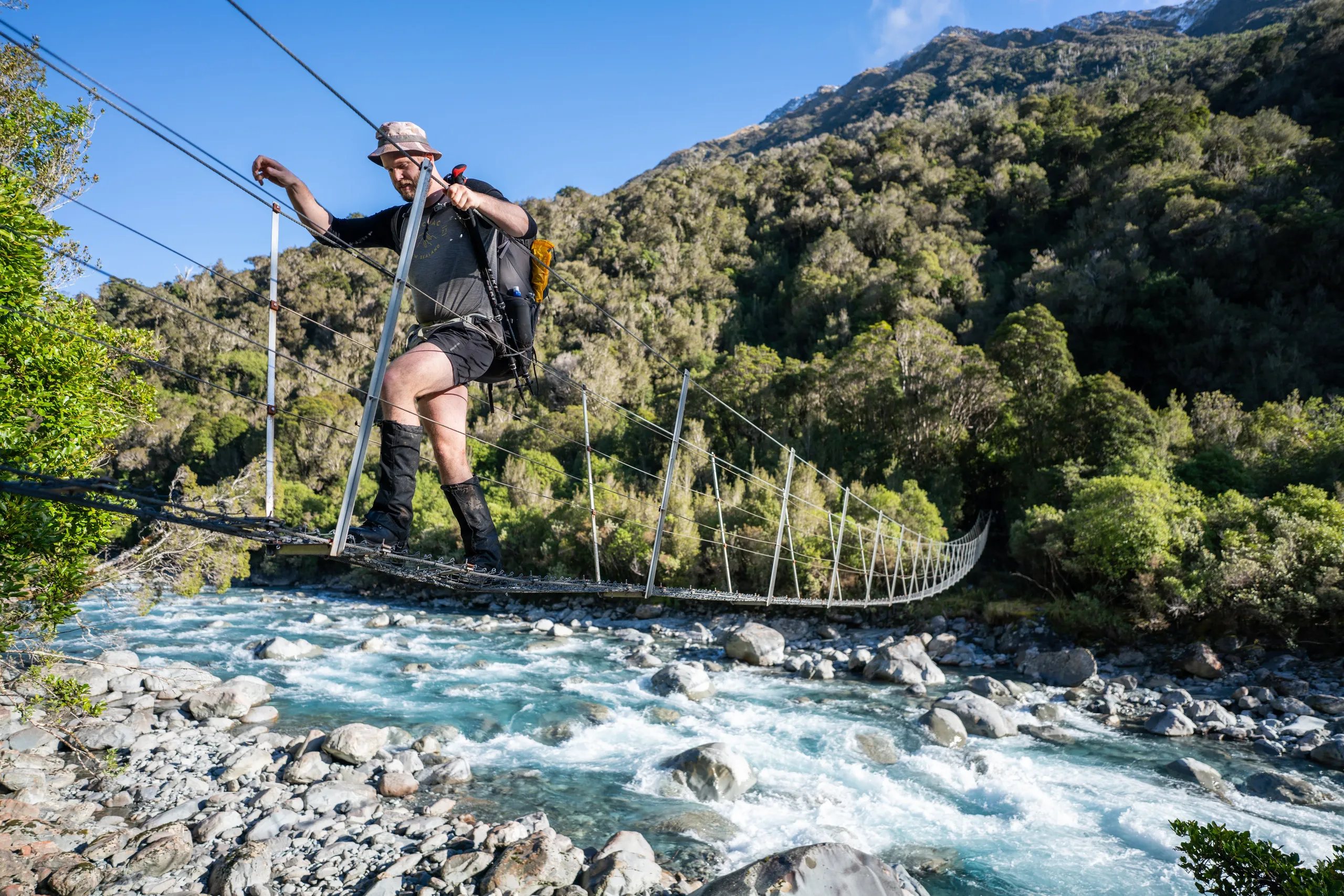
We set off the next day, now able to see the valley views all around us as we proceeded to Mid Taipo Hut and beyond. There is a three-wire bridge incorrectly labelled as a cableway on Topo50. Following the markers when approaching the bridge from downstream will lead you onto the flood track. If possible I’d recommend staying on the riverbank all the way to the bridge.
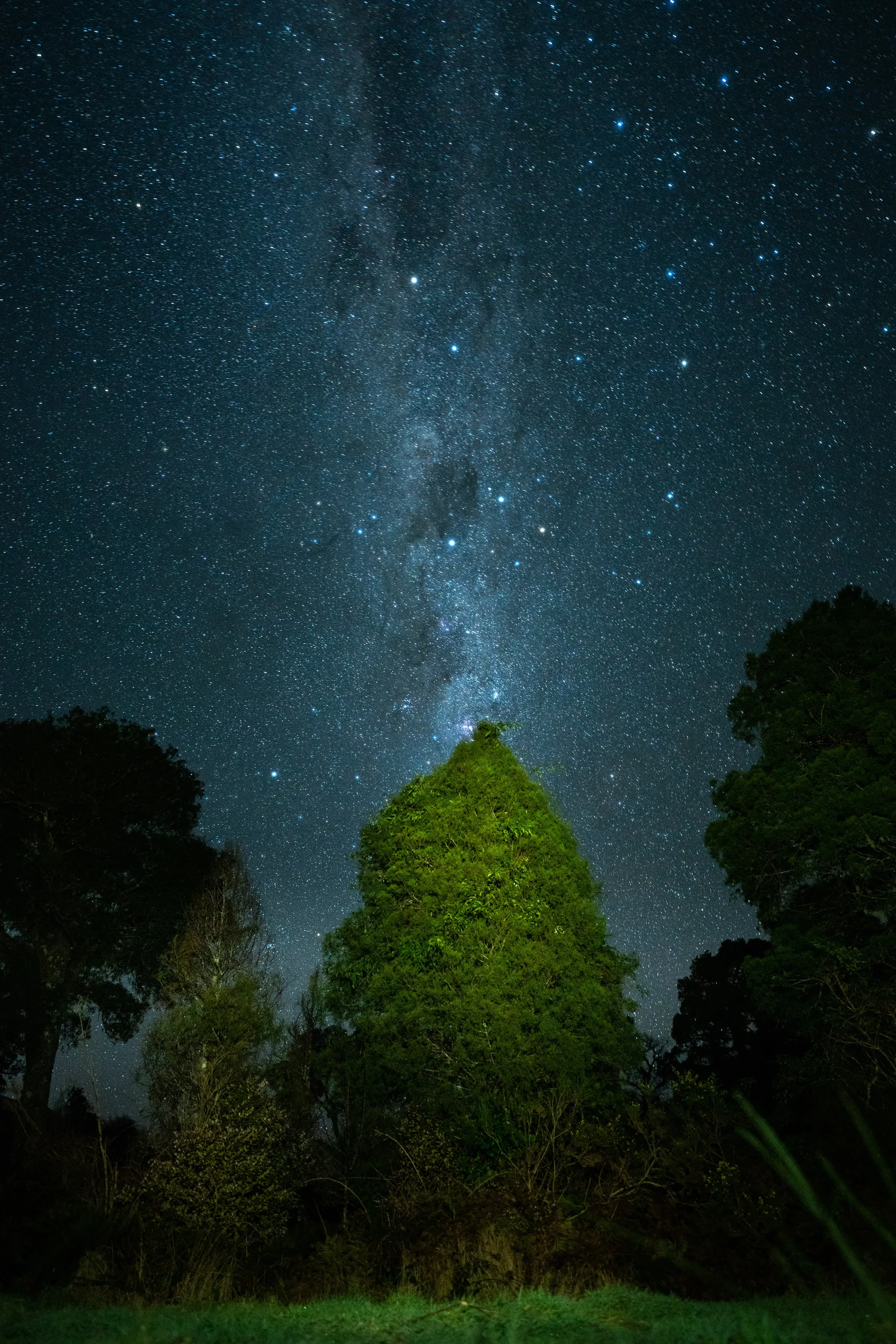
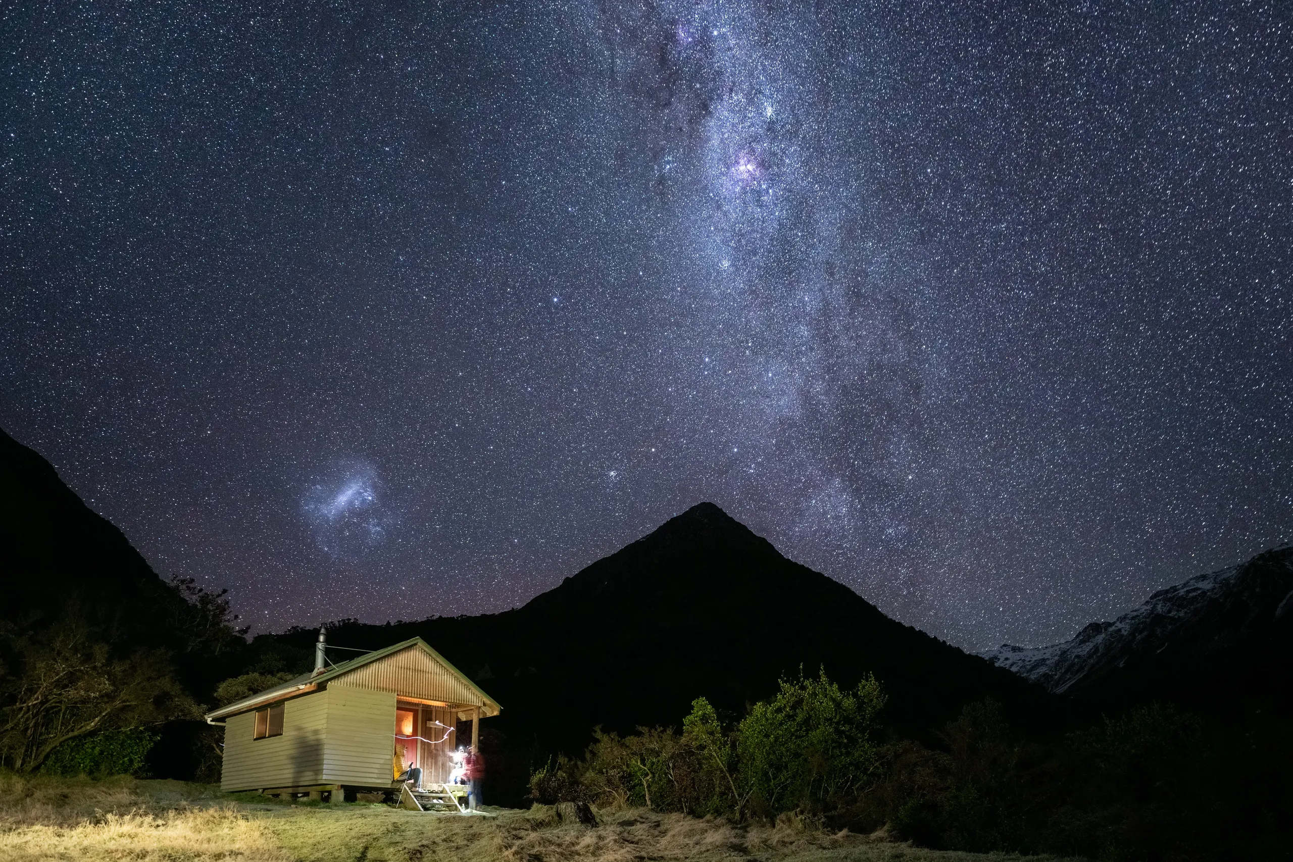
Shortly after arriving at Julia Hut, it was time to find the hot pools. Follow the track beyond the hut down to the stream and then head about 400m futher downstream. We found some shallow pools directly adjacent to the river on the true right. With the assistance of some spades and pots left by past groups, we dug some shallow pools big enough for six of us to sit half-submerged. The combination of dark skies, hot water and cold air made for a surreal stargazing experience.
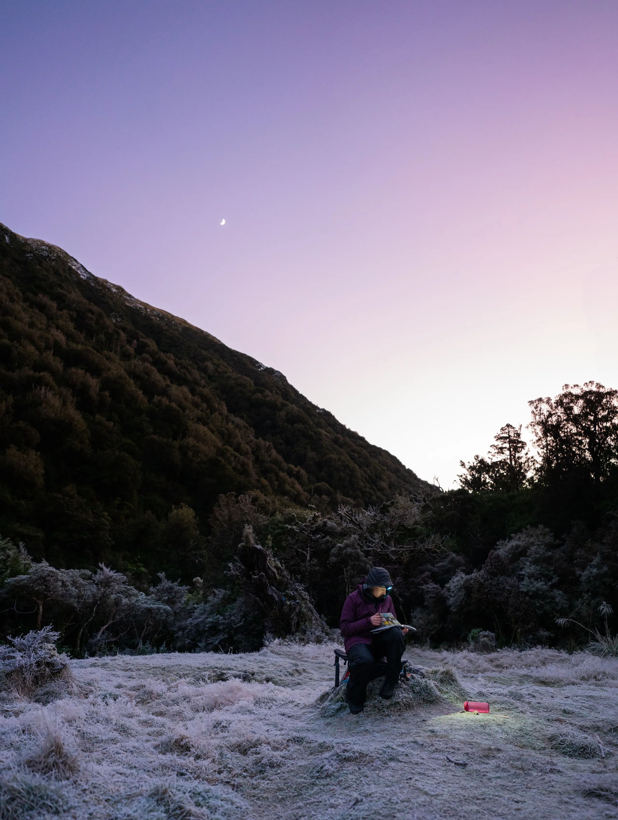
Day 3
The next day we got up early and retraced our steps 23km back to the car.